Route 1: Barruelo de Santullán - Balboa Barruelo de Santullán - Cervera de Pisuerga
Stage 1 belonging to Route 1: Barruelo de Santullán - Balboa
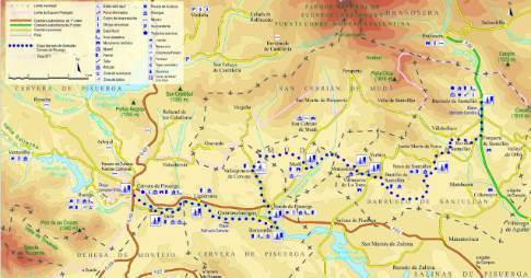
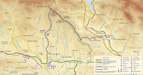
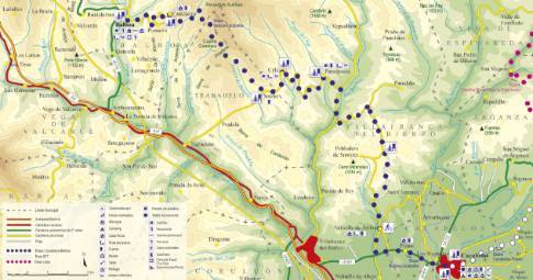
Linear route of 29.1 km in length and an estimated duration of 3 hours 15 minutes with a gradient of 150 meters. Forest track (80%) and road (20%). Medium difficulty. Recommended time: all year round, avoiding rainy or snowy seasons.
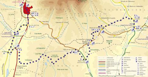
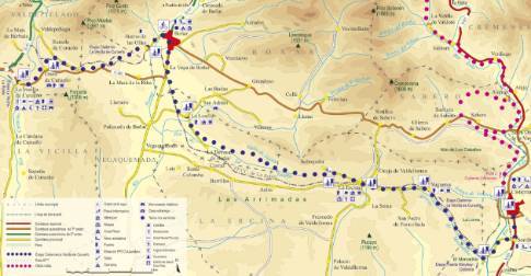
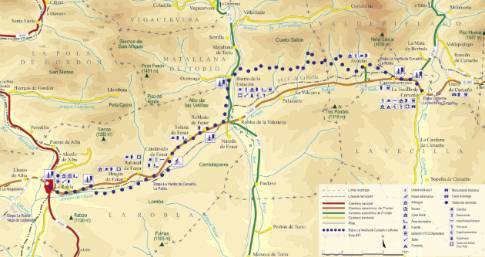
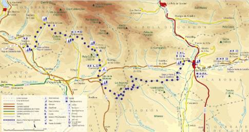
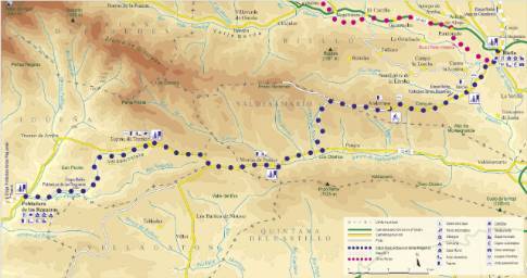
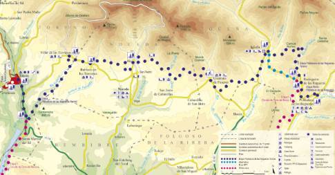
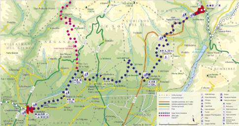
Route map
 High resolution image. This link will open using lightbox, there may be a context switch
Tips and recommendations
The tracks of this stage, frequently used by livestock, have Canadian passes formed by rotating tubes that must be crossed carefully by bicycle. After rainy seasons there may be some stretches of mud.
The stage includes several road sections where it is important to exercise extreme caution.
Points of interest
Revilla de Santullán has a fabulous example of rural Romanesque in its parish church of San Cornelio and San Cipriano.
Discover it as you pass through {0}
- Mudá
From Mudá to Cervera LENGTH: 15.5 km. DURATION: 1 hour 50 minutes. SLOPE: 100 m. TYPE OF ROAD: forest track (87%) and road (13%). RECOMMENDED...
- Departure from Cervera
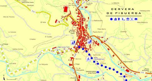
The same path that takes visitors to the ruins of the rock hermitage of San Vicente, on the outskirts of Cervera, allows easy access to the nearby town of Vado. From there, the cycle route continues along...
- Nava de Santullán
From Nava de Santullán to Cervera LENGTH: 25.7 km. DURATION: 3 hours. SLOPE: 150 m. TYPE OF ROAD: forest track (85%) and road (15%). DIFFICULTY OF THE SECTION: medium. RECOMMENDED...
- Vado
From Vado to Cervera LENGTH: 1.2 km. DURATION: 10 minutes. SLOPE: 5 m. TYPE OF ROAD: forest track (70%) and road (30%). DIFFICULTY OF THE SECTION: low.
- Vallespinoso
From Vallespinoso to Cervera LENGTH: 12.1 km. DURATION: 1 hour 25 minutes. SLOPE: 45 m. TYPE OF ROAD: forest track (87%) and road (13%). DIFFICULTY OF THE SECTION: medium-low. RECOMMENDED...
- Rueda de Pisuerga
From Rueda de Pisuerga to Cervera LENGTH: 9.4 km. DURATION: 1 hour 10 minutes. SLOPE: 40 m. TYPE OF ROAD: forest track (95%) and road (5%). DIFFICULTY OF THE SECTION: medium-low.
- Barcenilla
From Barcenilla to Cervera LENGTH: 7.6 km. DURATION: 55 minutes. SLOPE: 40 m. TYPE OF ROAD: forest track (92%) and road (8%). DIFFICULTY OF THE SECTION: low. RECOMMENDED TIME: all...
- Ligüérzana
From Ligüérzana to Cervera LENGTH: 3.6 km. DURATION: 25 minutes. SLOPE: 120 m. TYPE OF ROAD: forest track (92%) and road (8%). DIFFICULTY OF THE SECTION: low. RECOMMENDED TIME:...
- Departure from Barruelo
Leaving Barruelo on the Aguilar de Campoo highway, the route heads, first, to the nearby town of Porquera de Santullán to take the signposted detour to the sanctuary of the Virgen del Carmen. This local...
- Monastery
From Monastery to Cervera LENGTH: 18.9 km. DURATION: 2 hours 15 minutes. SLOPE: 150 m. TYPE OF ROAD: forest track (90%) and road (10%).
- Bustillo de Santullán
From Bustillo de Santullán to Cervera LENGTH: 20.5 km. DURATION: 2 hours 20 minutes. SLOPE: 150 m. TYPE OF ROAD: forest track (82%) and road (18%).

