Route 1: Barruelo de Santullán - Balboa - Departure from Barruelo
- Previous
- Following
 High resolution image. This link will open using lightbox, there may be a context switch
 High resolution image. This link will open using lightbox, there may be a context switch
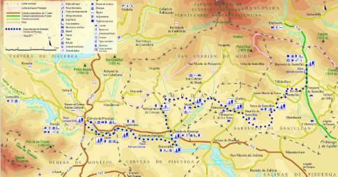
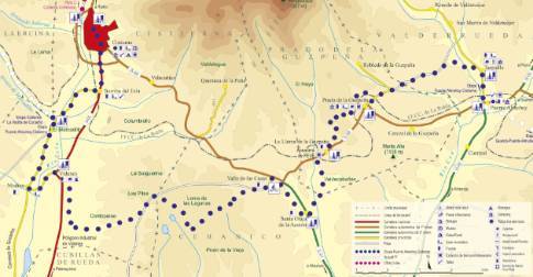
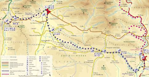
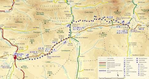
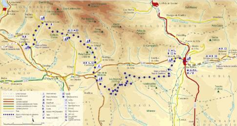
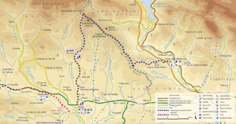
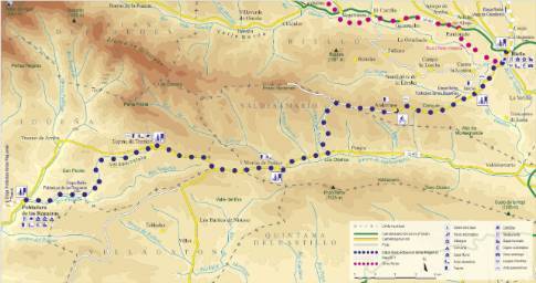
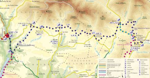
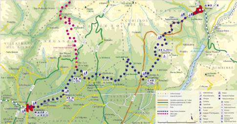
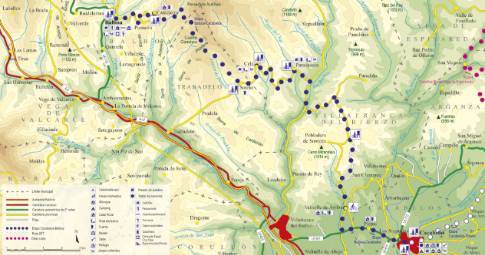
Leaving Barruelo on the Aguilar de Campoo highway, the route heads, first, to the nearby town of Porquera de Santullán to take the signposted detour to the sanctuary of the Virgen del Carmen. This local road, combined with a stretch of land between Revilla and Santa María de Nava, ultimately leads to the livestock center of Nava de Santullán. Once there, it is necessary to cross the entire town to continue along forest tracks and agricultural roads to Bustillo de Santullán.
Crossing the Río stream at the entrance to Bustillo, we go up the streets parallel to the river course until we reach the main road, which we will then use to go up to the neighboring town of Monasterio. From the upper part of this village, a well-marked dirt track descends between meadows to the elongated plain of the Molino stream, crossed by a row of poplar trees that leads to the attractive enclave of Mudá. The next section runs between hills covered with oaks and grasslands, along land concentration tracks that take the outskirts of Mudá in the direction of San Cebrián de Mudá and that end in the tight area of Vallespinoso de Cervera. The route continues south along a road and forest track to Rueda de Pisuerga, from where, walking along the left bank of the river, you reach Barcenilla after crossing the Pisuerga riverbed via a concrete walkway. At this point, the route completely changes course to head west along the agricultural and livestock roads that follow the right bank of the Pisuerga to Vado and Cervera.

