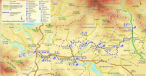
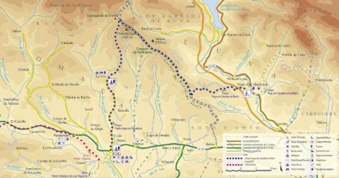
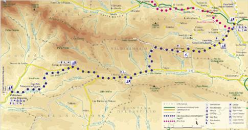
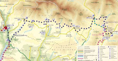
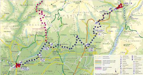
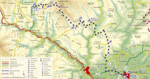
Route 1: Barruelo de Santullán - Balboa - Rueda de Pisuerga
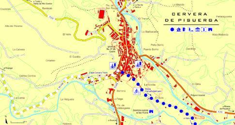
Barruelo de Santullán - Cervera de Pisuerga
- Previous
- Following
 High resolution image. This link will open using lightbox, there may be a context switch
 High resolution image. This link will open using lightbox, there may be a context switch From Rueda de Pisuerga to Cervera
- TYPE OF COURSE: linear.
- LENGTH: 9.4 km.
- DURATION: 1 hour 10 minutes.
- SLOPE: 40 m.
- TYPE OF ROAD: forest track (95%) and road (5%).
- DIFFICULTY OF THE SECTION: medium-low.
- RECOMMENDED TIME: all year round, avoiding rainy and snowy seasons at high altitudes.
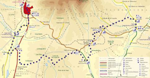
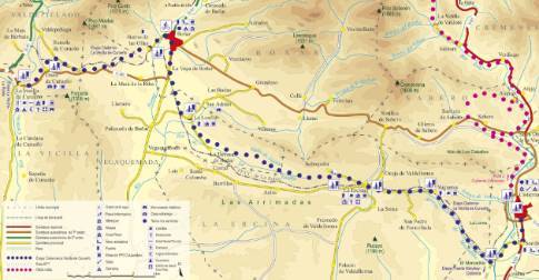
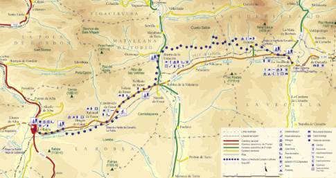
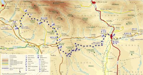
Any of the streets that lead to the parish church serve to leave Rueda in the direction of Pisuerga, where there is a recreation area. From there, the route heads southeast along a dirt road that follows the left bank of the Pisuerga. This path leads to a concrete walkway that gives access to Barcenilla. In Barcenilla, the route radically changes course, taking a marked west orientation to advance towards Vado and Cervera.


