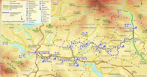
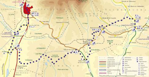
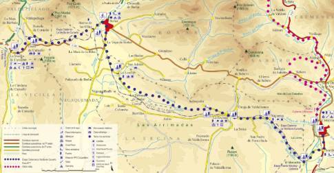
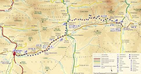
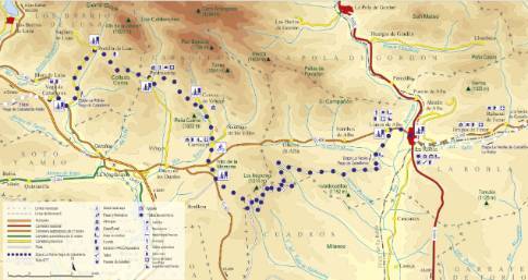
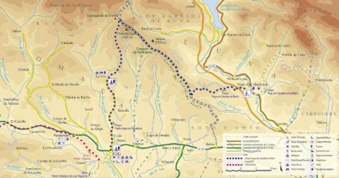
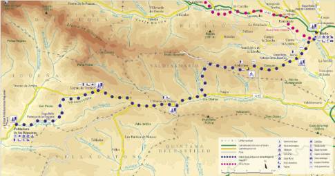
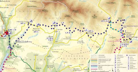
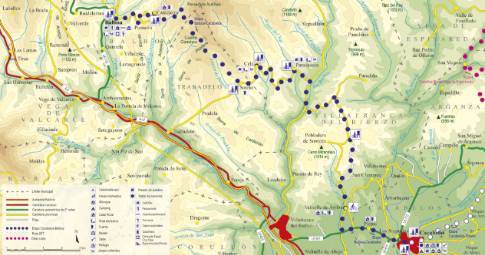
Route 1: Barruelo de Santullán - Balboa - Ligüérzana
Barruelo de Santullán - Cervera de Pisuerga
- Previous
- Following
 High resolution image. This link will open using lightbox, there may be a context switch
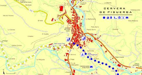
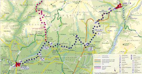
 High resolution image. This link will open using lightbox, there may be a context switch From Ligüérzana to Cervera
- TYPE OF COURSE: linear.
- LENGTH: 3.6 km.
- DURATION: 25 minutes.
- SLOPE: 120 m.
- TYPE OF ROAD: forest track (92%) and road (8%).
- DIFFICULTY OF THE SECTION: low.
- RECOMMENDED TIME: all year round, avoiding rainy and snowy seasons at high altitudes.
Between Ligüérzana and Cervera, the route runs through the Pisuerga plain. Following the path that runs parallel to the river, the route follows the riverbed to the town of Vado. Continue along the Cervera road to a path that turns to the right and crosses the Rivera River via a pedestrian bridge. On the other side, it connects with an agricultural track that leads directly to Cervera through the area of San Vicente.
 High resolution image. This link will open using lightbox, there may be a context switch From Ligüérzana to Barruelo

