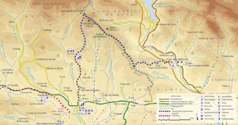
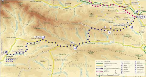
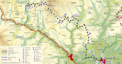
Route 1: Barruelo de Santullán - Balboa - Monastery
Barruelo de Santullán - Cervera de Pisuerga
- Previous
- Following
 High resolution image. This link will open using lightbox, there may be a context switch
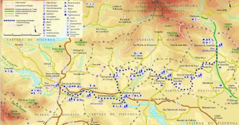
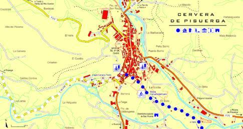
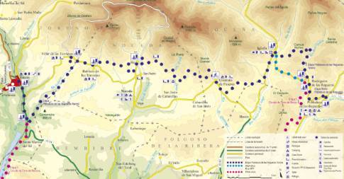
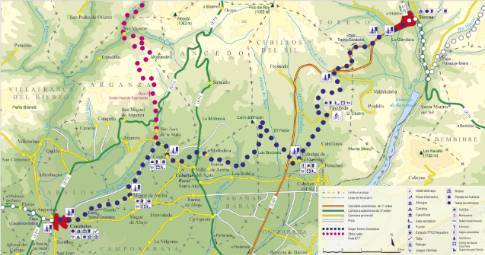
 High resolution image. This link will open using lightbox, there may be a context switch From Monastery to Cervera
- TYPE OF COURSE: linear.
- LENGTH: 18.9 km.
- DURATION: 2 hours 15 minutes.
- SLOPE: 150 m.
- TYPE OF ROAD: forest track (90%) and road (10%).
- DIFFICULTY OF THE SECTION: medium.
- RECOMMENDED TIME: all year round, avoiding rainy and snowy seasons at low altitudes.
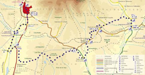
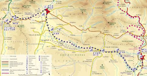
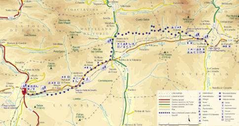
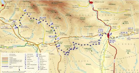
Located at the highest point of the stage, Monasterio is located on top of a hill with good views of the mountain. From there you descend to the photogenic enclave of Mudá. The next section runs along land concentration tracks, between farmland and oak forests, to Vallespinoso de Cervera. We continue to Rueda, and from there, to Barnecilla. At this point, we change course towards Vado and Cervera.
 High resolution image. This link will open using lightbox, there may be a context switch From Monastery to Barruelo
- TYPE OF COURSE: linear.
- LENGTH: 10.2 km.
- DURATION: 1 hour.
- SLOPE: 115 m.
- TYPE OF ROAD: forest track (65%) and road (35%).
- DIFFICULTY OF THE SECTION: medium.
- RECOMMENDED TIME: all year round, avoiding rainy and snowy seasons at low altitudes.

