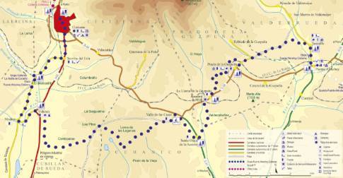
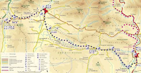
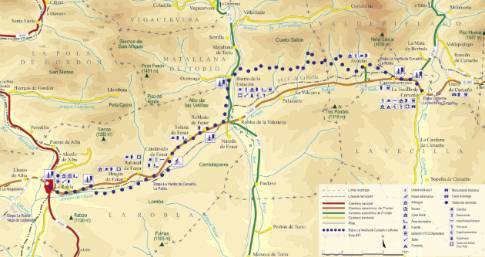
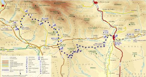
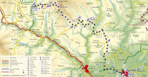
Route 1: Barruelo de Santullán - Balboa - Bustillo de Santullán
Barruelo de Santullán - Cervera de Pisuerga
- Previous
- Following
 High resolution image. This link will open using lightbox, there may be a context switch
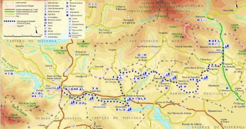
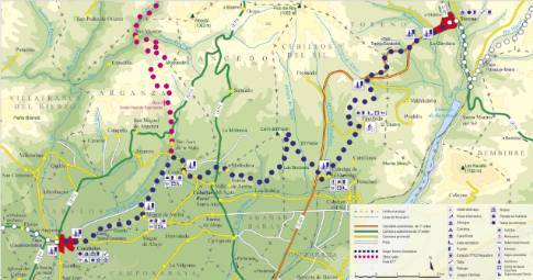
 High resolution image. This link will open using lightbox, there may be a context switch From Bustillo de Santullán to Cervera
- TYPE OF COURSE: linear.
- LENGTH: 20.5 km.
- DURATION: 2 hours 20 minutes.
- SLOPE: 150 m.
- TYPE OF ROAD: forest track (82%) and road (18%).
- DIFFICULTY OF THE SECTION: medium.
- RECOMMENDED TIME: all year round, avoiding rainy and snowy seasons at high altitudes.
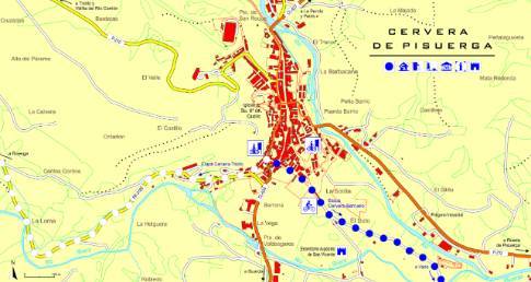
Leaving Bustillo on the road towards Villanueva de la Torre, we take the detour that goes up to Monasterio. From there you descend through the plain of the Molino stream to the photogenic enclave of Mudá. The next section takes us to Vallespinoso de Cervera and continues to Rueda. Later, following the left bank of the river, we arrive at Barnecilla. At this point, the route changes course and heads west until it takes us to Vado and Cervera.


