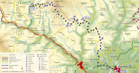
Route 1: Barruelo de Santullán - Balboa Pobladura de las Regueras - Toreno
Stage 11 belonging to Route 1: Barruelo de Santullán - Balboa
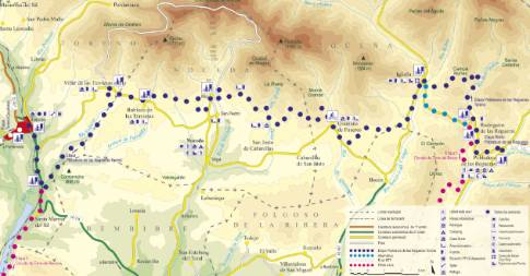
Linear route of 53.8 km in length and an estimated duration of 5 hours 40 minutes with a gradient of 540 meters. Forest track (75%) and road (25%). Alternative: ( Santa Ana- Igüeña section by road): 49.8 km / 4h55' / elevation gain: 435 m. High difficulty. Recommended season: spring to autumn, avoiding rainy or snowy seasons at low altitudes.
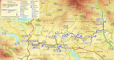
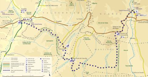
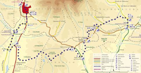
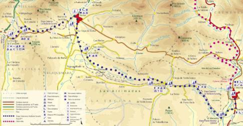
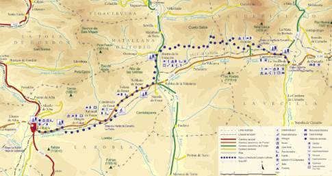
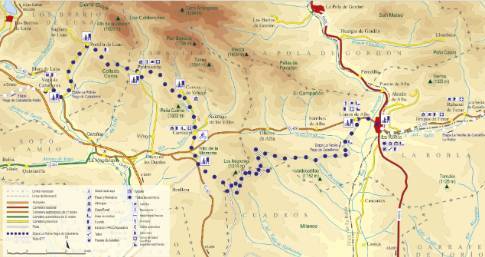
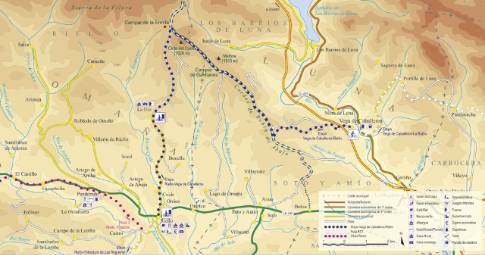
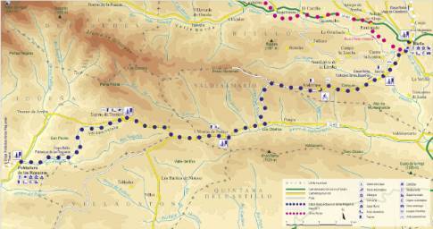
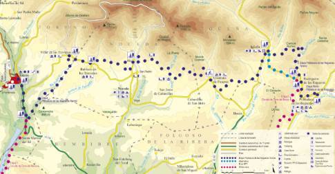
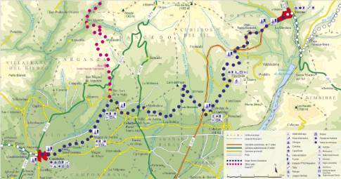
Route map
 High resolution image. This link will open using lightbox, there may be a context switch
Tips and recommendations
As it is a long stage with many stretches of dirt, it is advisable to be well equipped with food and energy drinks, although it is possible to refill your water bottle along the route.
Some sections of the track may be muddy after rainy seasons.
Discover it as you pass through {0}
- Rodrigatos
From Rodrigatos to Toreno LENGTH: 49.8 km. DURATION: 5 hours 25 minutes. SLOPE: 540 m. TYPE OF ROAD: forest track (75%) and road (25%). ALTERNATIVE: ( Santa Ana- Igüeña section...
- Santa Ana
From Santa Ana to Toreno LENGTH: 48.7 km. DURATION: 5 hours 20 minutes. SLOPE: 540 m. TYPE OF ROAD: forest track (75%) and road (25%). ALTERNATIVE: ( Santa Ana- Igüeña section by...
- Igüeña
From Igüeña to Toreno LENGTH: 40.8 km. DURATION: 4 hours 25 minutes. SLOPE: 435 m. TYPE OF ROAD: forest track (70%) and road (30%). RECOMMENDED...
- Noceda
From Noceda to Toreno LENGTH: 18.5 km. DURATION: 1 hour 55 minutes. SLOPE: 385 m. TYPE OF ROAD: forest track (60%) and road (40%). RECOMMENDED TIME:...
- Quintana de Fuseros
From Quintana de Fuseros to Toreno LENGTH: 31.8 km. DURATION: 3 hours 30 minutes. SLOPE: 435 m. TYPE OF ROAD: forest track (75%) and road (25%).
- Robledo de las Traviesas
From Robledo de las Traviesas to Toreno LENGTH: 13.6 km. DURATION: 1 hour 20 minutes. SLOPE: 360 m. TYPE OF ROAD: forest track (55%) and road (45%). DIFFICULTY OF THE SECTION: medium.
- Villar de las Traviesas
From Villar de las Traviesas to Toreno LENGTH: 11.3 km. DURATION: 1 hour 10 minutes. SLOPE: 305 m. TYPE OF ROAD: forest track (70%) and road (30%). DIFFICULTY OF THE SECTION: medium.
- Departure from Pobladura de las Regueras
We leave Pobladura along the Igüeña highway, which passes through the small village of Rodrigatos de las Regueras. Although there is the possibility of following this road to Igüeña, the main route of...
- Departure from Toreno
Leaving Toreno on the Bembibre road, the route follows the bank of the Sil River until just before the bridge over the Velasco River, where there is a mining track that deviates to the left. This path...
- Valle del Río Velasco
From Valle del Río Velasco to Toreno LENGTH: 4 km. DURATION: 15 minutes. SLOPE: 15 m. TYPE OF ROAD: road (100%). DIFFICULTY OF THE SECTION: low. RECOMMENDED TIME: all year round.

