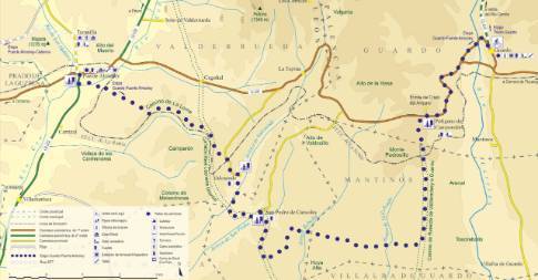
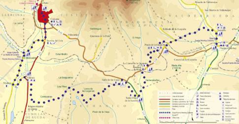
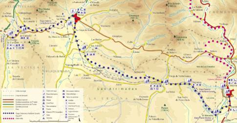
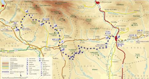
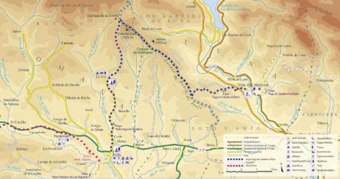
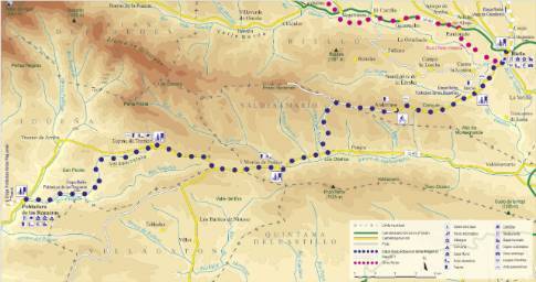
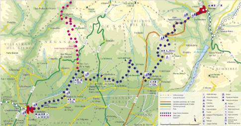
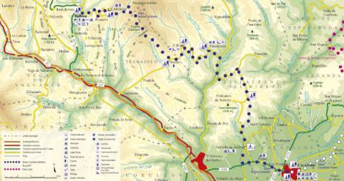
Route 1: Barruelo de Santullán - Balboa - Rodrigatos
Pobladura de las Regueras - Toreno
- Previous
- Following
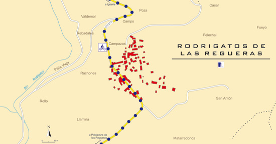 High resolution image. This link will open using lightbox, there may be a context switch
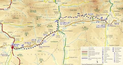
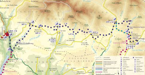
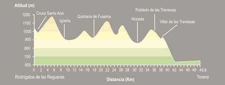 High resolution image. This link will open using lightbox, there may be a context switch From Rodrigatos to Toreno
- TYPE OF COURSE: linear.
- LENGTH: 49.8 km.
- DURATION: 5 hours 25 minutes.
- SLOPE: 540 m.
- TYPE OF ROAD: forest track (75%) and road (25%).
- ALTERNATIVE: ( Santa Ana- Igüeña section by road): 45.8 km/4h 40 min./elevation difference: 435 m.
- DIFFICULTY OF THE SECTION: high.
- RECOMMENDED TIME: from spring to autumn.
From Rodrigatos we go to Igüeña. A little before the mines, turn left to reach the La Torca hill. From Igüeña, we continue to Quintana de Fuseros where we continue north, to turn west and reach Noceda. There, you take the Muñegro road, which leads to Robledo de las Traviesas and later to Villar de las Traviesas. In this town, the route deviates until it descends to the Bembibre road and, a few kilometers away, Toreno.

