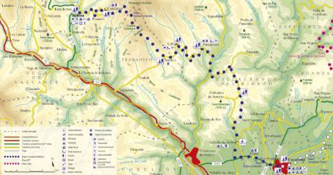
Route 1: Barruelo de Santullán - Balboa - Yugueros
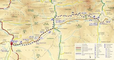
Cistierna - La Vecilla of Curueño
- Previous
- Following
 High resolution image. This link will open using lightbox, there may be a context switch
 High resolution image. This link will open using lightbox, there may be a context switch From Yugueros to La Vecilla
- TYPE OF COURSE: linear.
- LENGTH: 26.4 km.
- DURATION: 2 hours 45 minutes.
- SLOPE: 190 m.
- TYPE OF ROAD: forest track (70%) and road (30%).
- DIFFICULTY OF THE SECTION: medium.
- RECOMMENDED TIME: all year round.
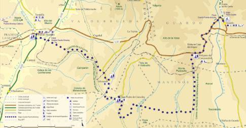
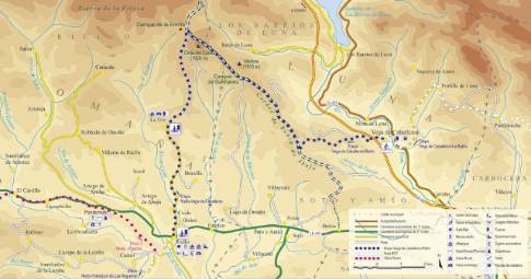
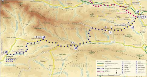
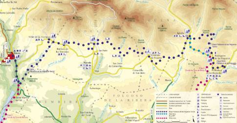
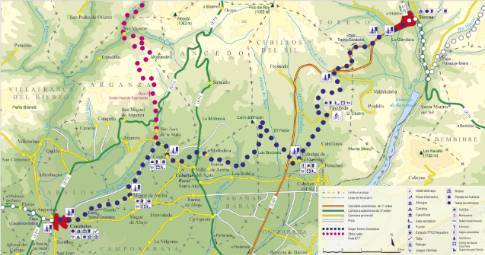
Following the local road, we head to the mining center of La Ercina, where the route deviates north, in the direction of Sobrepeña to go in search of Monte Peral. The itinerary turns west along the Fuentes valley track, which leads to La Losilla, in the Porma valley. From there we continue to Boñar to go to Barrio de las Ollas. After connecting with the Ranedo de Curueño highway, we will descend through Otero and from there to La Vecilla, where the stage ends.


