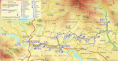
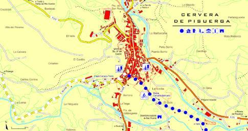
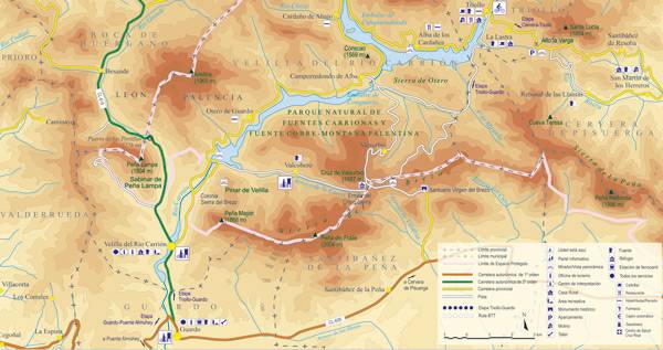
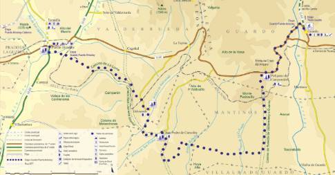
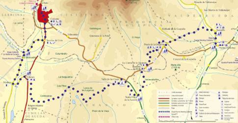
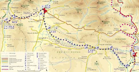
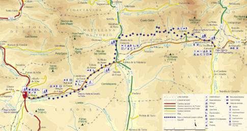
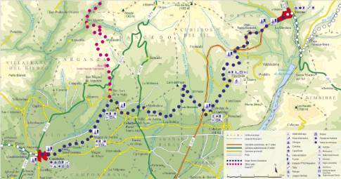
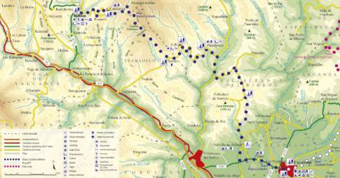
Route 1: Barruelo de Santullán - Balboa - Valtuille de Arriba
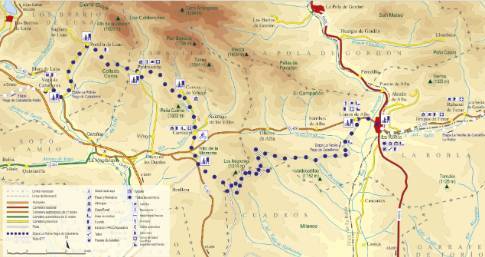
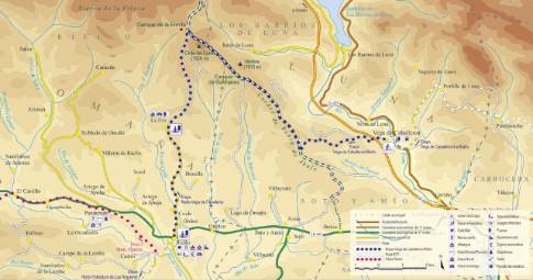
Cacabelos - Balboa
- Previous
- Following
 High resolution image. This link will open using lightbox, there may be a context switch
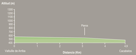
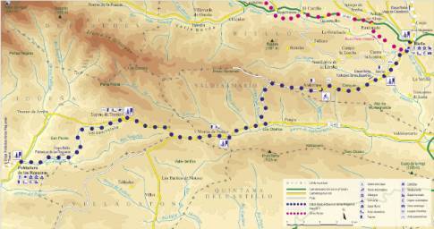
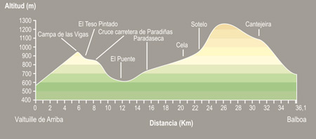 High resolution image. This link will open using lightbox, there may be a context switch From Valtuille de Arriba to Balboa
- TYPE OF COURSE: linear.
- LENGTH: 36.1 km.
- DURATION: 3 hours 5 minutes.
- SLOPE: 697 m.
- TYPE OF ROAD: forest track (32%) and road (68%).
- DIFFICULTY OF THE SECTION: high.
- RECOMMENDED TIME: from spring to autumn: in winter there may be stretches of track in poor condition.
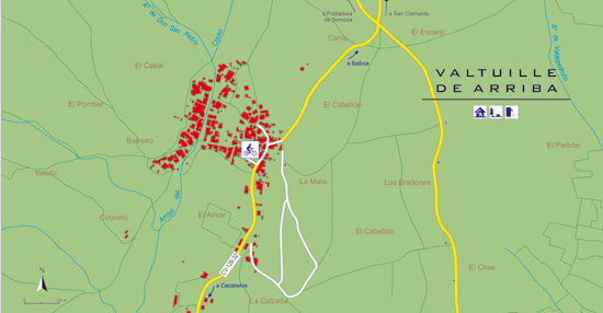
In Valtuille you take a small street that leads to a road junction. There the route turns left towards Pobladura de Somoza, culminating in Campa de las Vigas and descends towards a crossing on the banks of the Burbia River, where the road leading to Paradaseca leaves. From this town, we cross the town and continue along the Trabadelo road, on a climb where Cela and Sotelo intersect. In Sotelo you take a track towards Cantejeira to end up descending to Balboa.

