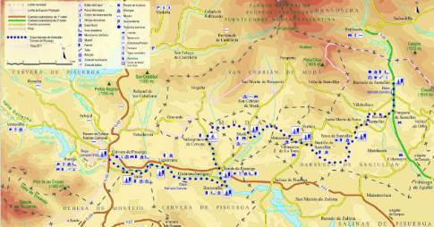
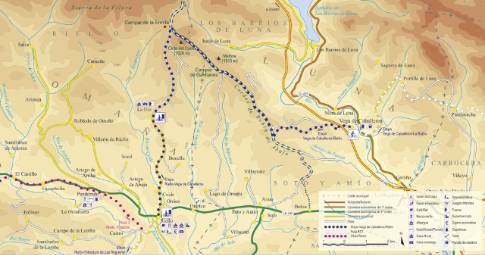
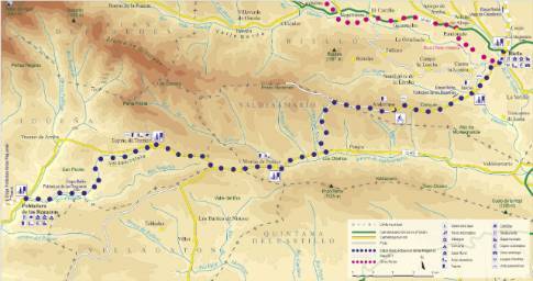
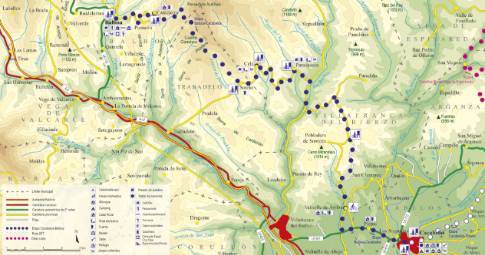
Route 1: Barruelo de Santullán - Balboa - Valcobero
Triollo - Guardo
- Previous
- Following
 High resolution image. This link will open using lightbox, there may be a context switch
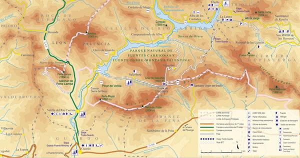
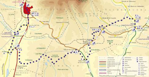
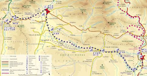
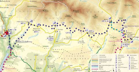
 High resolution image. This link will open using lightbox, there may be a context switch From Valcobero to Guardo
- TYPE OF COURSE: linear.
- LENGTH: 11.3 km.
- DURATION: 1 hour.
- SLOPE: 180 m.
- TYPE OF ROAD: forest track (42%) and road (58%).
- DIFFICULTY OF THE SECTION: medium.
- RECOMMENDED TIME: from spring to autumn.
We leave Valcobero along the track that gives access to the town from Velilla del Río Carrión. The banks of the Compuerto reservoir are reached in a narrow, sunken tail between slopes. This route ends in a tunnel that leads to a viewpoint over the Compuerto dam. There the land route ends and you take the road that leads to Sierra del Brezo and the Carretera de los Pantanos, which takes you to Velilla de Carrión.
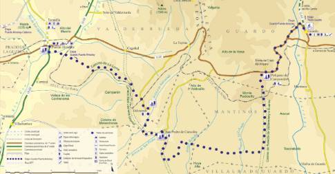
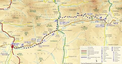
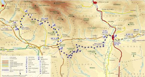
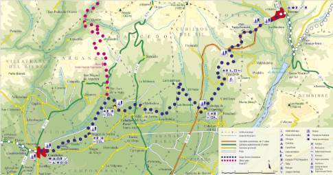
 High resolution image. This link will open using lightbox, there may be a context switch From Valcobero to Triollo
- TYPE OF COURSE: linear.
- LENGTH: 19.5 km.
- DURATION: 2 hours 30 minutes.
- SLOPE: 390 m.
- TYPE OF ROAD: forest track (100%).
- DIFFICULTY OF THE SECTION: high.
- RECOMMENDED TIME: from spring to autumn; In winter snow can close the road.

