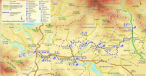
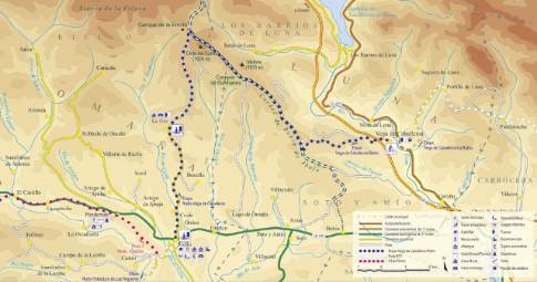
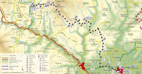
Route 1: Barruelo de Santullán - Balboa - Taranilla
Puente Almuhey - Cistierna
- Previous
- Following
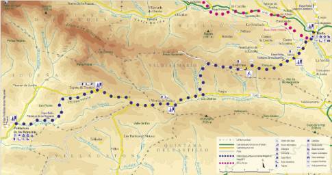
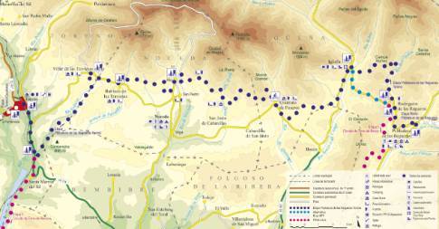
 High resolution image. This link will open using lightbox, there may be a context switch
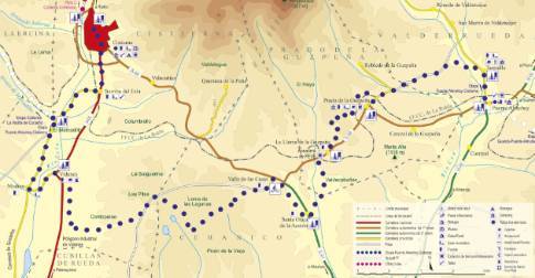
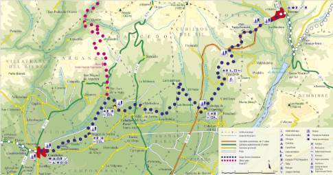
 High resolution image. This link will open using lightbox, there may be a context switch From Taranilla to Cistierna
- TYPE OF COURSE: linear.
- LENGTH: 30.3 km.
- DURATION: 3 hours 5 minutes.
- SLOPE: 250 m.
- TYPE OF ROAD: forest track (62%) and road (38%).
- DIFFICULTY OF THE SECTION: medium-high.
- RECOMMENDED TIME: all year round, avoiding rainy seasons.
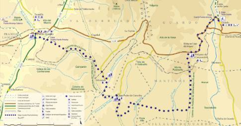
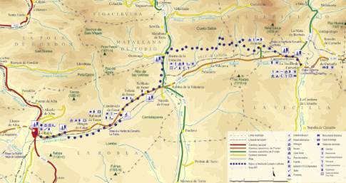
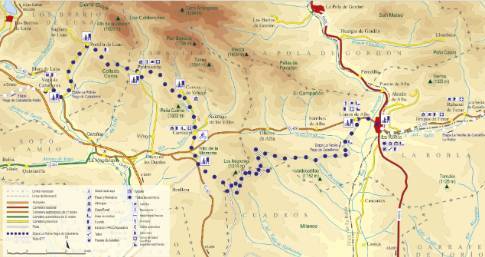
At the exit from Taranilla towards San Martín de Valdetuéjar, take a detour to the left along a dirt track that heads west. This road exits onto the road from Robledo to Prado de la Guzpeña, our next destination. Continue south and then north towards Valle de las Casas. At the end of this route, you descend through Valdehontanos to Vidanes, in the Esla valley. We cross the N-625 heading to Sorriba del Esla.
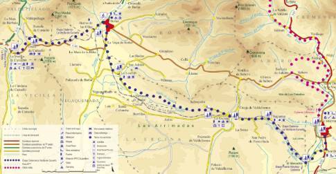
 High resolution image. This link will open using lightbox, there may be a context switch From Taranilla to Puente Almuhey

