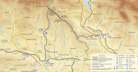
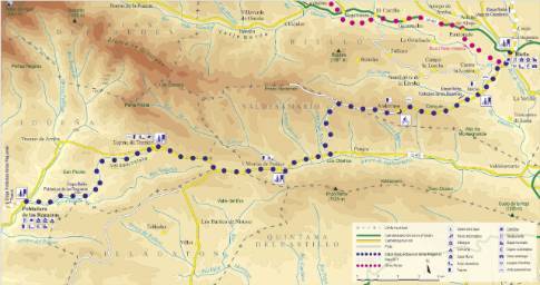
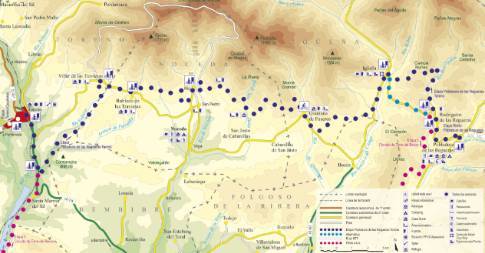
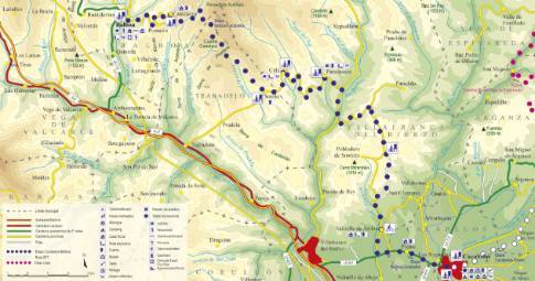
Route 1: Barruelo de Santullán - Balboa - Santa Olaja
- Previous
- Following
 High resolution image. This link will open using lightbox, there may be a context switch
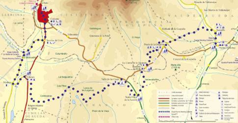
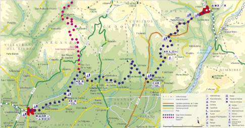
 High resolution image. This link will open using lightbox, there may be a context switch From Santa Olaja to Cistierna
- TYPE OF COURSE: linear.
- LENGTH: 19.6 km.
- DURATION: 1 hour 55 minutes.
- SLOPE: 230 m.
- TYPE OF ROAD: forest track (52%) and road (48%).
- DIFFICULTY OF THE SECTION: medium-high.
- RECOMMENDED TIME: all year round, avoiding rainy seasons.
In Santa Olaja you take a farm track to the north, parallel to the regional road. We arrive at Valle de las Casas to continue along Loma de las Lagunas. On the other side of the plain, we turn north along a firebreak that ends at the Las Pilas crossroads where we follow the only path that goes down to the Vidanes industrial estate. Once in Vidanes, we cross the N-625 to take the Modino road from where we go up towards Cistierna.


