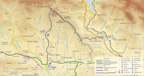
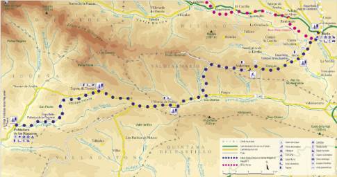
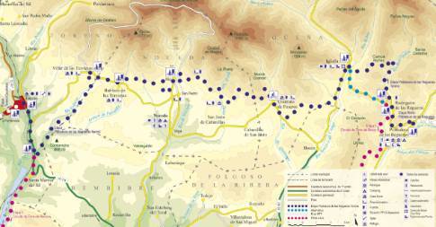
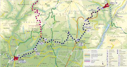
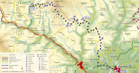
Route 1: Barruelo de Santullán - Balboa - San Martín
Cervera de Pisuerga - Triollo
- Previous
- Following
 High resolution image. This link will open using lightbox, there may be a context switch
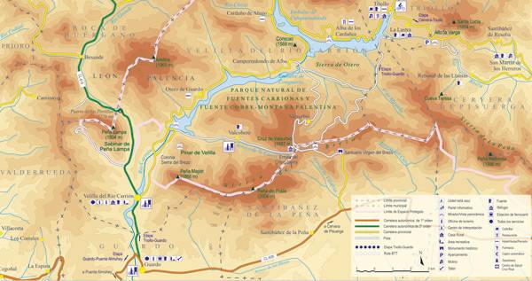
 High resolution image. This link will open using lightbox, there may be a context switch From San Martín to Triollo
- TYPE OF COURSE: linear.
- LENGTH: 11.8 km.
- DURATION: 1 hour.
- SLOPE: 360 m.
- TYPE OF ROAD: forest track (30%) and road (70%).
- DIFFICULTY OF THE SECTION: high.
- RECOMMENDED TIME: from spring to autumn; In winter there may be closed sections with snow between Rebanal and Alto La Varga.
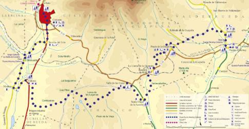
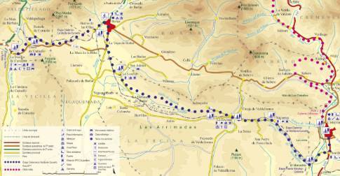
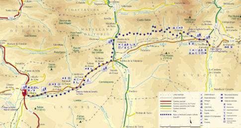
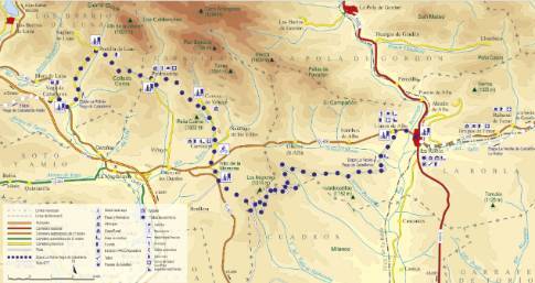
Following the road to Rebanal de las Llantas, you take a forest track that winds along the banks of the Rebanal stream along a valley floor nestled between oaks and beech trees. After a first section of little unevenness, this path faces a tough climb that culminates in Alto de La Varga, at 1,435 m altitude. At this point, we exit onto the so-called Swamp Highway that leads us, in a relaxed descent, to our destination in Triollo.


