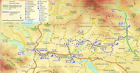
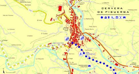
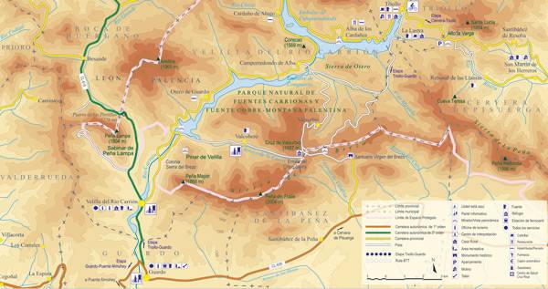
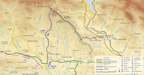
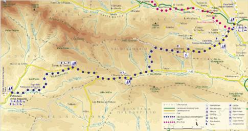
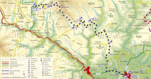
Route 1: Barruelo de Santullán - Balboa - Prado de la Guzpeña
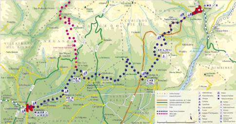
Puente Almuhey - Cistierna
 High resolution image. This link will open using lightbox, there may be a context switch
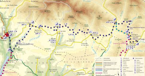
 High resolution image. This link will open using lightbox, there may be a context switch From Prado de la Guzpeña to Cistierna
- TYPE OF COURSE: linear.
- LENGTH: 25.5 km.
- DURATION: 2 hours 35 minutes.
- SLOPE: 250 m.
- TYPE OF ROAD: forest track (60%) and road (40%).
- DIFFICULTY OF THE SECTION: medium-high.
- RECOMMENDED TIME: all year round, avoiding rainy seasons.
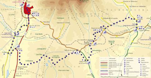
Following the church street, the route crosses the train tracks via an overpass and begins the ascent to Alto de la Cruz. Further on, you descend to La Llama de la Guzpeña along the Velilla road. Continue south and then north towards Valle de las Casas. At the end of this route, you descend through Valdehontanos to Vidanes, in the Esla valley. We cross the N-625 heading to Sorriba del Esla.
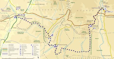
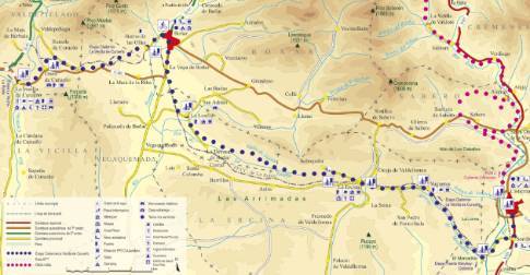
 High resolution image. This link will open using lightbox, there may be a context switch From Prado de la Guzpeña to Puente Almuhey

