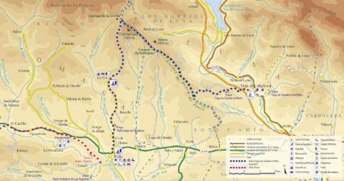
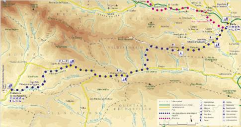
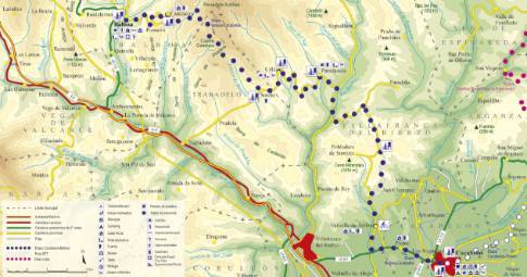
Route 1: Barruelo de Santullán - Balboa - Otero
Cistierna - La Vecilla of Curueño
- Previous
- Following
 High resolution image. This link will open using lightbox, there may be a context switch
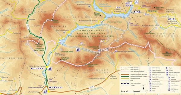
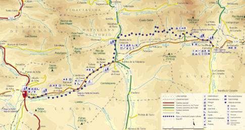
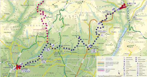
 High resolution image. This link will open using lightbox, there may be a context switch From Otero to La Vecilla
- TYPE OF COURSE: linear.
- LENGTH: 1.6 km.
- DURATION: 10 minutes.
- SLOPE: 25 m.
- TYPE OF ROAD: forest track (65%) and road (35%).
- DIFFICULTY OF THE SECTION: medium.
- RECOMMENDED TIME: all year round.
The route leaves Otero towards La Vecilla along a path that begins near the Álvarez Acevedo palace, the most prominent building in the town. After a slight descent, the route runs along the edge of the Curueño plain, occupied by meadows delimited by oak hedges. In this way, you will exit onto the regional highway CL-626, half a kilometer from La Vecilla, a town that can be reached after crossing the bridge over the Curueño River.
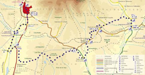
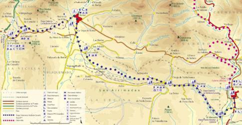
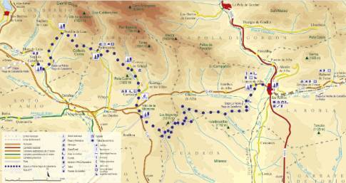
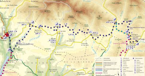
 High resolution image. This link will open using lightbox, there may be a context switch From Otero to Cistierna
- TYPE OF COURSE: linear.
- LENGTH: 33 km.
- DURATION: 3 hours 25 minutes.
- SLOPE: 210 m.
- TYPE OF ROAD: forest track (65%) and road (35%).
- DIFFICULTY OF THE SECTION: medium.
- RECOMMENDED TIME: all year round.

