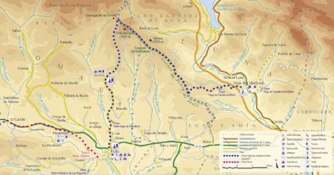
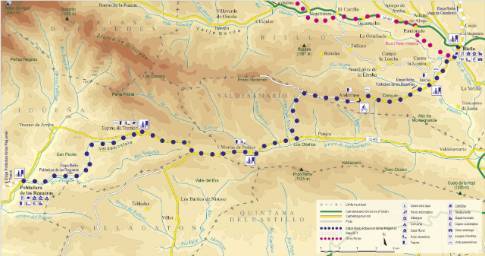
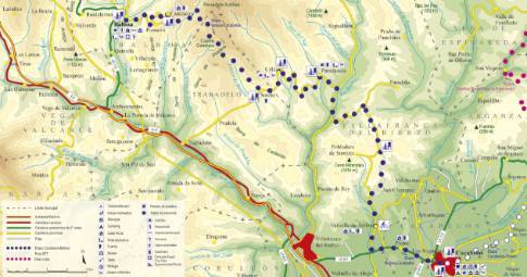
Route 1: Barruelo de Santullán - Balboa - Departure from Vega de Caballeros
- Previous
- Following
 High resolution image. This link will open using lightbox, there may be a context switch
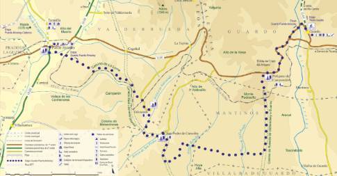
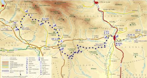
 High resolution image. This link will open using lightbox, there may be a context switch Taking the so-called Camino de Valdecorro, the route leaves Vega de Caballeros through the upper part of the town, passing next to the church. Immediately there is an underpass that allows you to cross the A-66 Leon-Oviedo highway to immediately begin a steep climb to meet the wide line of the Babia de Abajo merino cordel, which is reached near the top of the mountain range. Turning sharply to the northwest, the route continues to climb in a more progressive way, with short, harder slopes followed by brief flatlands and rests. In this way the highest point of the route is reached next to the summit of Cinta del Cueto, from where a long descent begins in the direction of Riello.

