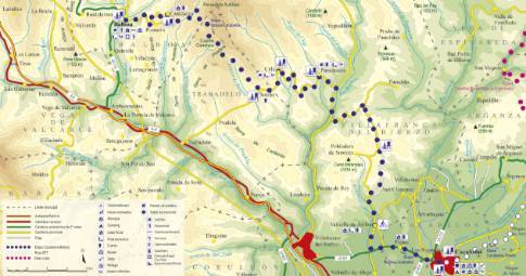
Route 1: Barruelo de Santullán - Balboa - Departure from Puente Almuhey
- Previous
- Following
 High resolution image. This link will open using lightbox, there may be a context switch
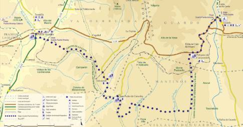
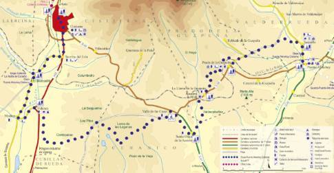
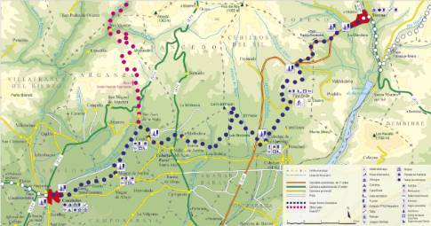
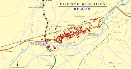 High resolution image. This link will open using lightbox, there may be a context switch We leave Puente Almuhey along the local road that, crossing the train track, goes up the Tuéjar valley to the town of Taranilla . There, the route deviates to the left along a dirt road that crosses the river and climbs gently between crop fields, leaving waste dumps from old coal deposits on the right. After crossing the Hervencia stream, it joins a local road that again crosses the route of La Robla railway, offering a good view of Peñacorada before reaching the town of Prado de la Guzpeña.
The route continues from Prado along a forest path that crosses the train track again, this time over an overpass, and begins a steep but brief climb to Alto de la Cruz. Further on, the track enters an area of oak forest and joins the Camino de Velilla, along which it descends towards the town of La Llama de la Guzpeña, protected in a ravine.

