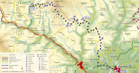
Route 1: Barruelo de Santullán - Balboa - Departure from La Vecilla
- Previous
- Following
 High resolution image. This link will open using lightbox, there may be a context switch
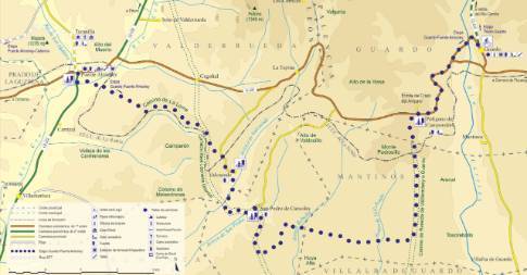
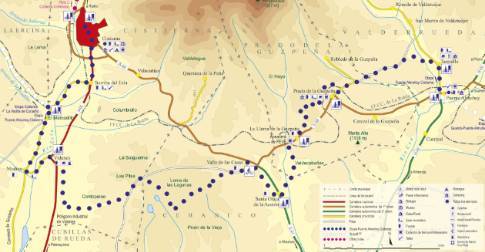
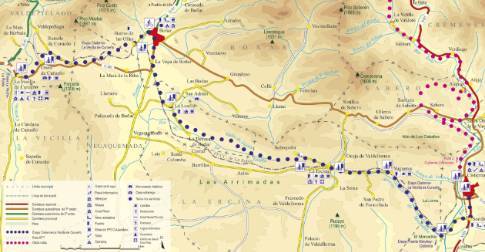
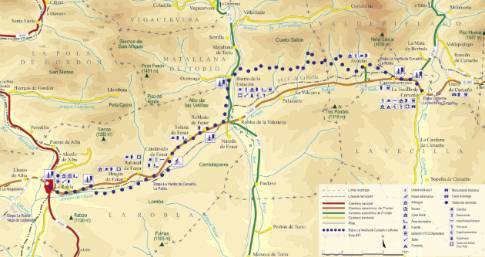
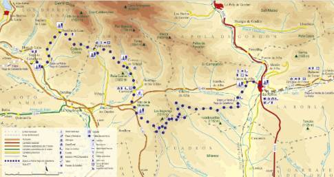
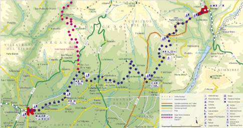
 High resolution image. This link will open using lightbox, there may be a context switch We leave La Vecilla along the regional highway CL-626 in the direction of La Robla. After a long straight line, the route reaches the center of Campohermoso and turns to the right along an old cart path, which starts at the western end of the town and climbs through oak bushes and meadows until it ends in front of the Aviados church. The itinerary continues to the other side of this town, crossing the Aviados stream to turn immediately to the right along the Molinos path, which begins a long stretch along dirt tracks, with continuous ups and downs through which the successive valleys. Thus, after passing the Robles stream, the path bends a hill and descends to the Arbeo Valley, where it crosses an old waste dump. A new slope gives way to the La Viesca area, where the abandoned buildings of the Valenciana mine draw attention and where the El Villarín path is taken to continue to the Plaza de Regueras, a place of large waste dumps colonized by vegetation. . The last section of this mining road is a descent through the Valdesalinas Valley that ends in the Torío Valley, connecting with the Bardaya mine greenway. Following the box of the old mining railway towards the south, the itinerary reaches the Matallana Barrio de la Estación , a place that marks a turning point in the course of the stage, since from here it advances through more open and scarce terrain. unevenness.

