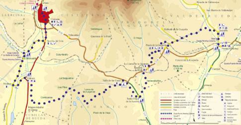
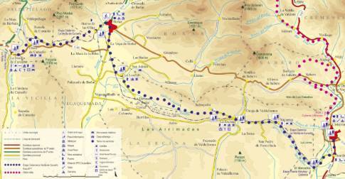
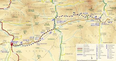
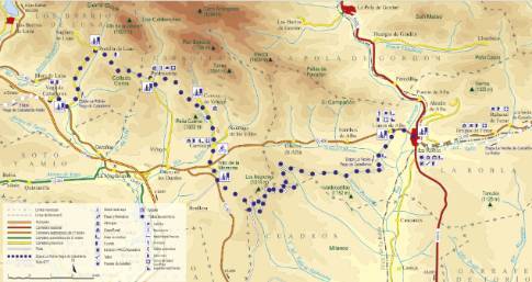
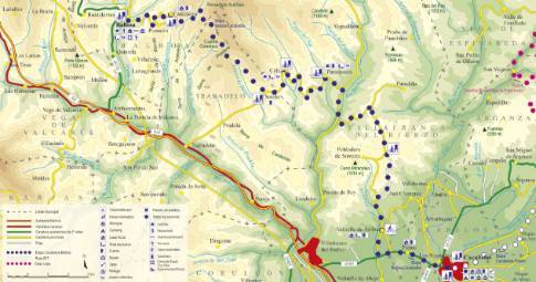
Route 1: Barruelo de Santullán - Balboa - Departure from La Vecilla
- Previous
- Following
 High resolution image. This link will open using lightbox, there may be a context switch
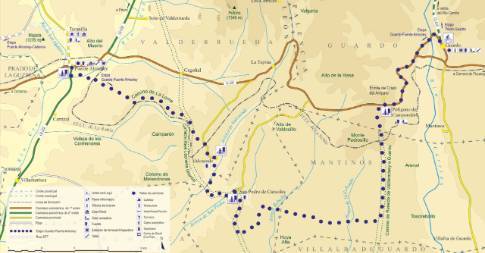
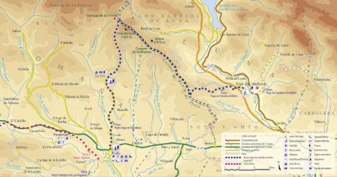
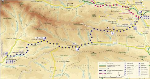
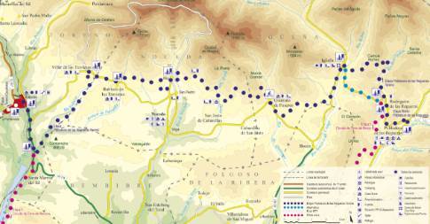
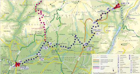
 High resolution image. This link will open using lightbox, there may be a context switch Leaving La Vecilla on the regional highway CL-626 towards Boñar, and after crossing the Curueño River, we take a first detour to the left to go up a dirt track to the neighboring town of Otero. On the other side of the town, the route continues along the halt road until reaching the local Ranedo road. This local road takes us east to the junction with the regional road, which must be crossed to begin the descent towards the Porma valley along another forest track. Crossing the road, the itinerary uses an abandoned asphalt branch to pass over the train tracks and continue along the Camino de los Caminantes to Barrio de las Ollas. Going down the main street of the town, you come out onto the road that leads comfortably, and after crossing the Porma riverbed, to the nearby town of Boñar.

