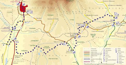
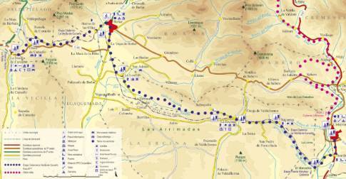
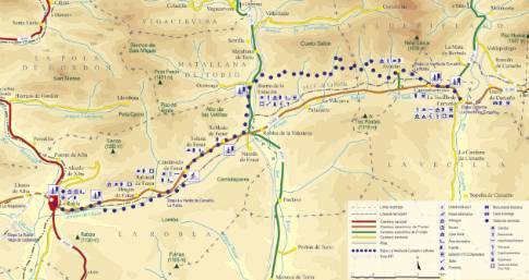
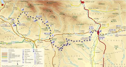
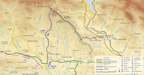
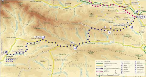
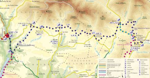
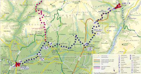
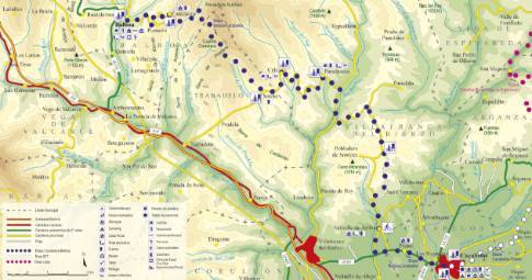
Route 1: Barruelo de Santullán - Balboa - Departure from La Robla
- Previous
- Following
 High resolution image. This link will open using lightbox, there may be a context switch
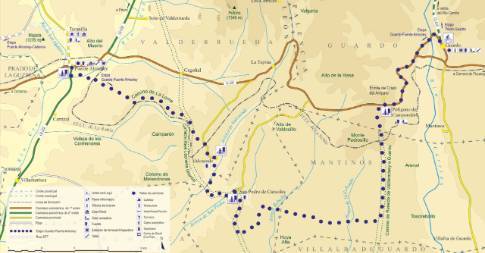
 High resolution image. This link will open using lightbox, there may be a context switch Leaving La Robla along La Magdalena road, you cross the bridge over the Bernesga to access the adjacent town of Llanos de Alba, where you take a detour to the left in the direction of the Devesa neighborhood. The street that runs through this part of the town ends in a well-kept recreational area at the foot of an open-pit mine. The route continues uphill along a forest track that runs, in its first section, along the edge of the waste dump that limits this exploitation. After an initial stretch of steep ascent, the slope softens as the route advances through an extensive reforestation of pine trees dotted with birch trees. In this way, you pass the heights of Lomba (1,179 m) and Valdezarza (1,295 m) before facing a rapid descent that leads to the road from Leon to La Magdalena, just at the Benllera intersection. At that point, take a detour to the right along a connecting branch that quickly connects with the town of Carrocera.

