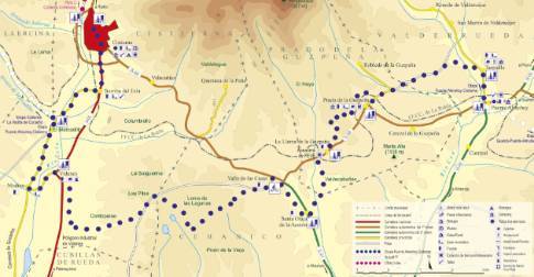
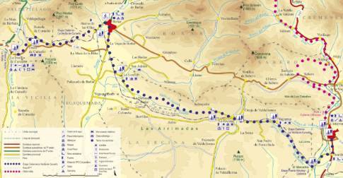
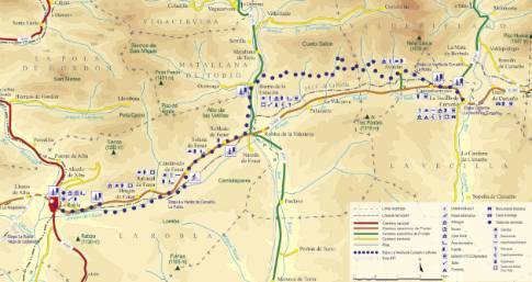
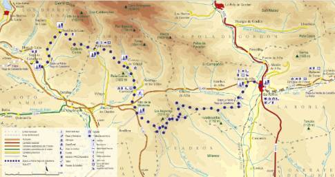
Route 1: Barruelo de Santullán - Balboa - Departure from La Robla
- Previous
- Following
 High resolution image. This link will open using lightbox, there may be a context switch
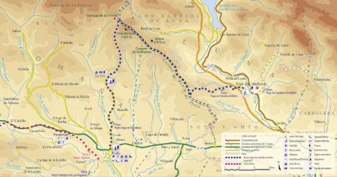
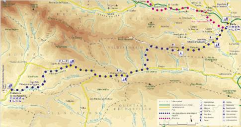
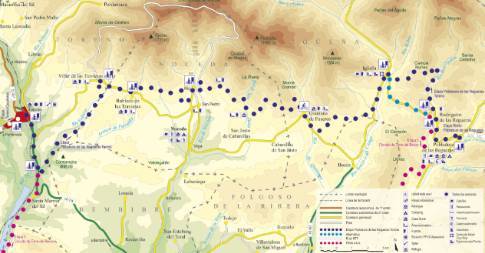
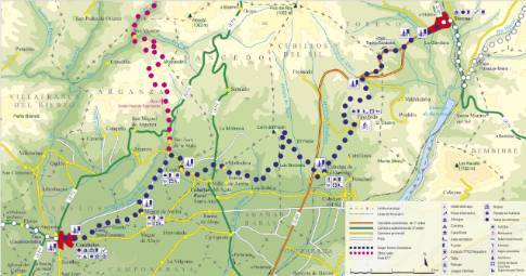
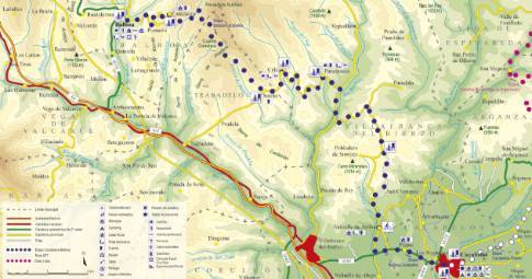
 High resolution image. This link will open using lightbox, there may be a context switch We leave La Robla along the regional highway CL-626 in the direction of La Vecilla de Curueño. Just 2.5 km further on you reach the area of La Muria, where the route deviates to the right along the so-called "Camino Negro" or La Robla road, to the town of Candanedo de Fenar. From there you reach Solana de Fenar by road, where you take a path that connects with the neighboring town of Robledo de Fenar.
The route then advances 1 km along the CL-626 highway to take a path to the left that first follows the railway tracks to the east and then goes up the bed of the Torío River through Vega Pepina. Crossing the bridge over the Torío, this route ends in the Matallana Barrio de la Estación . There you cross the provincial highway LE-311 to continue progressing north along the Bardaya mine greenway. In this way, a crossroads is reached, where the route turns east to continue up the Valdesalinas valley, beginning a long journey along mining and forestry tracks, with continuous ups and downs. The El Villarín path takes us to the La Viesca area and from there to the Arbeo valley. Finally, the route ascends to the center of Aviados.

