Route 1: Barruelo de Santullán - Balboa - Departure from Cervera
- Previous
- Following
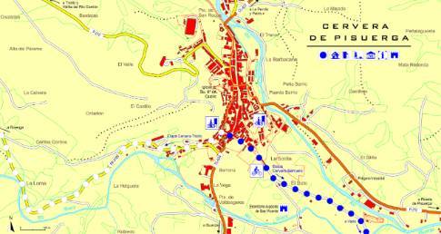
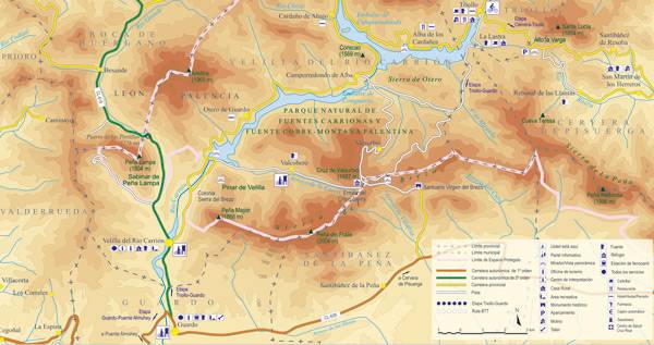
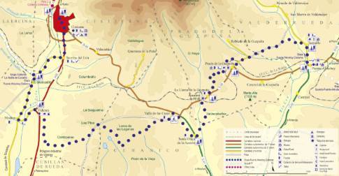
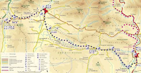
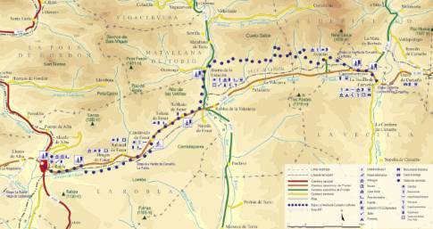
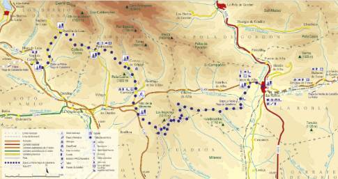
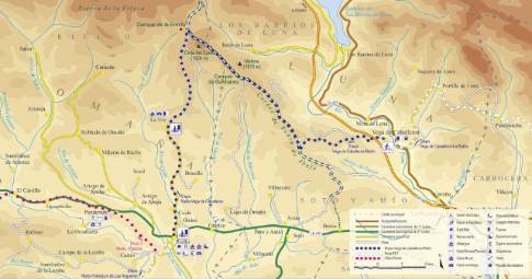
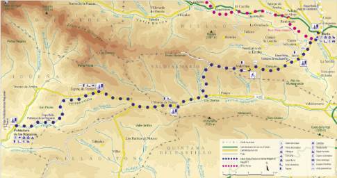
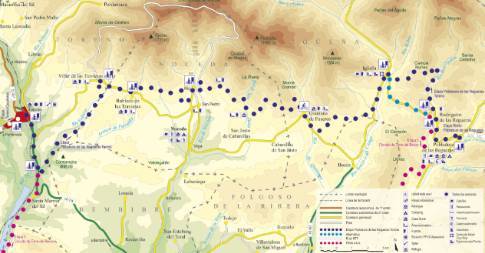
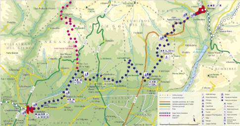
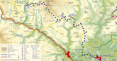
 High resolution image. This link will open using lightbox, there may be a context switch Leaving Cervera along the Ruesga local road, the route goes up the Rivera River valley to the Ruesga reservoir, on whose banks there is a recreation area that is very popular in the summer. From there, passing through the recreational facilities, it continues along the Santiuste road, bordering the reservoir on its right bank, in a stretch of great beauty that runs between oaks, beeches and hazelnut trees to the town of Ventanilla.
Leaving Ventanilla along the road towards Santibáñez de Resoba, the route enters the Narrow Valley through a meadow of wide meadows where the crossing towards San Martín de los Herreros is located. The narrow local road that connects this town ends in the hidden village of Rebanal de las Llantas, from where a dirt road begins towards La Lastra passing through the Alto La Varga viewpoint. After a first section with little gradient, the route faces a steep climb up the steep and wooded slopes of the Carrión- Pisuerga divide, until reaching the 1,435 m altitude of Alto La Varga. At this point, the route exits onto the so-called Carretera de los Pantanos that leads us, in a relaxed descent, to La Lastra and, finally, to our destination in Triollo.

