Route 1: Barruelo de Santullán - Balboa - Departure from Balboa
- Previous
- Following
 High resolution image. This link will open using lightbox, there may be a context switch
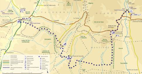
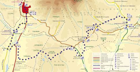
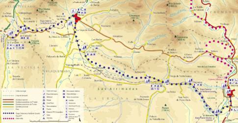
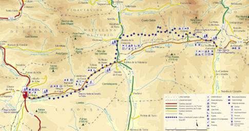
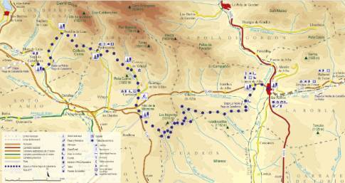
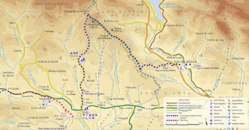
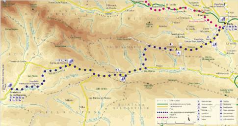
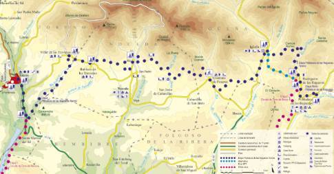
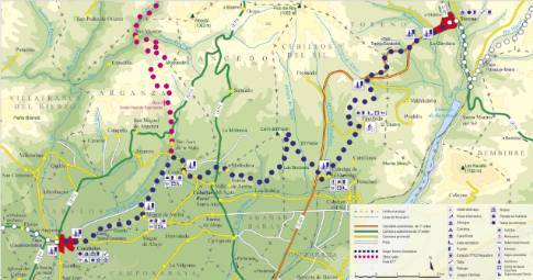
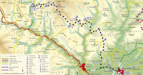
 High resolution image. This link will open using lightbox, there may be a context switch The route begins in Balboa with a tough road climb to Cantejeira. This pretty village, with its last pallozas, is crossed from side to side to continue the climb along a forest track that leads to the top of the Cuatro Caminos hill, at 1,262 m above sea level, after winding through the valleys and slopes that hang from the Penalties of Autiñas. Once at the Trabadelo terminus, there is a rapid descent and chestnut groves. There the asphalt is resumed to extend the descent to Paradaseca, passing through the center of Cela.
From Paradaseca, continue along the Villafranca del Bierzo road, leaving aside the detour that enters the valley of the Burbia River. Further on, the road crosses the bed of this river and reaches a crossing. Here, our itinerary deviates to the left to begin a new ascent along a narrow and winding secondary road that leads to Pobladura de Somoza through the top of Campa de las Vigas . In this area, where the descent begins, the route deviates along a forest track that runs halfway down the slope overlooking El Bierzo region and the extensive vineyards of Cacabelos.

