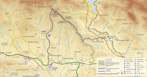
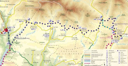
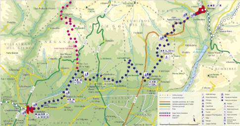
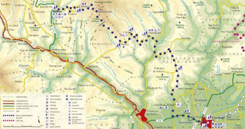
Route 1: Barruelo de Santullán - Balboa - Cela
Cacabelos - Balboa
- Previous
- Following
 High resolution image. This link will open using lightbox, there may be a context switch
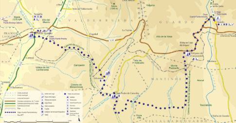
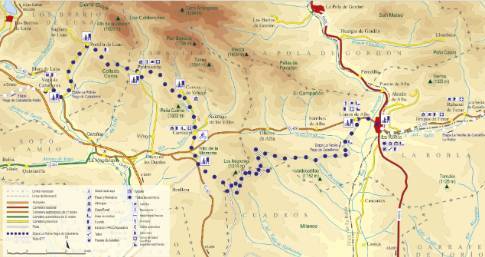
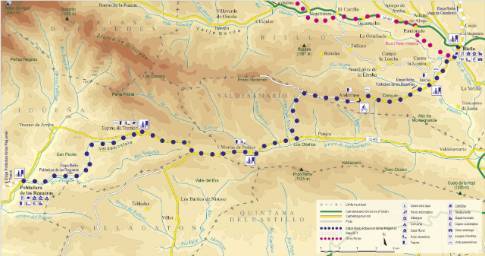
 High resolution image. This link will open using lightbox, there may be a context switch From Cela to Balboa
- TYPE OF COURSE: linear.
- LENGTH: 15.7 km.
- DURATION: 1 hour 30 minutes.
- SLOPE: 572 m.
- TYPE OF ROAD: forest track (52%) and road (48%).
- DIFFICULTY OF THE SECTION: high.
- RECOMMENDED TIME: from spring to autumn: in winter there may be stretches of track in poor condition.
Following the Trabadelo highway, the route ascends to Sotelo. There it turns to the right to ascend the Cuatro Caminos pass (1,262 m). On the other side of the hill, a descent follows, with the path increasingly sunken between blunt mountain ranges covered with heather and regenerated oak. This section ends in the village of Cantejeira, where the asphalt is resumed to continue descending by road to Balboa, the end point of this stage and of the route.


