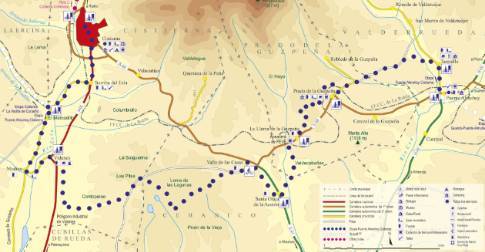
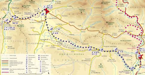
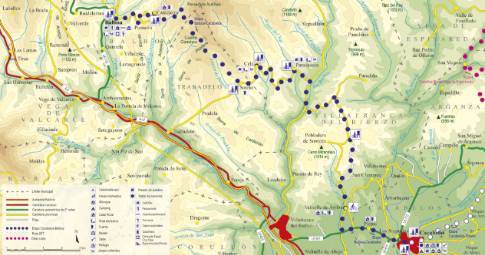
Route 1: Barruelo de Santullán - Balboa - Carrocera
- Previous
- Following
 High resolution image. This link will open using lightbox, there may be a context switch
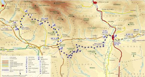
 High resolution image. This link will open using lightbox, there may be a context switch From Carrocera to Vega de Caballeros
- TYPE OF COURSE: linear.
- LENGTH: 15.2 km.
- DURATION: 1 hour 30 minutes.
- SLOPE: 300 m.
- TYPE OF ROAD: forest track (48%) and road (52%).
- DIFFICULTY OF THE SECTION: high.
- RECOMMENDED TIME: spring to autumn.
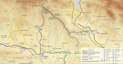
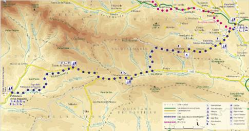
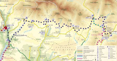
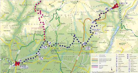
We leave Carrocera along the local road to Cuevas de Viñayo. At the entrance to the town of the same name, the route turns left towards Piedrasecha. On the next route, the Piedrasecha hill (1,268 m) is crowned, before descending to the town and crossing the Coros hill (1,311 m). There, the route descends to Portilla de Luna to later connect with the regional route from La Magdalena to Barrios de Luna that leads, northward, to Vega de Caballeros.
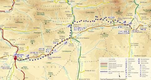
 High resolution image. This link will open using lightbox, there may be a context switch From Carrocera to La Robla

