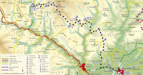
Route 1: Barruelo de Santullán - Balboa - Cantejeira
- Previous
- Following
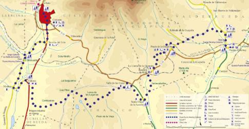
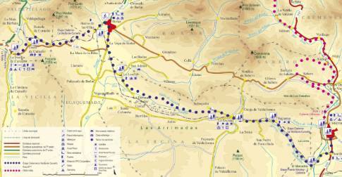
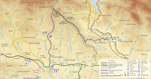
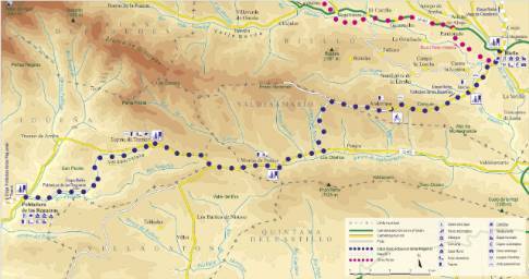
 High resolution image. This link will open using lightbox, there may be a context switch
 High resolution image. This link will open using lightbox, there may be a context switch From Cantejeira to Balboa
- TYPE OF COURSE: linear.
- LENGTH: 5.2 km.
- DURATION: 20 minutes.
- SLOPE: 395 m.
- TYPE OF ROAD: forest track (100%).
- DIFFICULTY OF THE SECTION: low.
- RECOMMENDED TIME: all year round.
The section between Cantejeira and Balboa runs entirely along the narrow local road, which overcomes a steep slope between both towns. In the first meters of the descent, you leave the detour to the village of Pumarín on the left, to then embark on a rapid descent. As the route approaches its final destination, the chestnut groves that surround the road become more abundant. The itinerary concludes at the end of the descent, in Balboa.
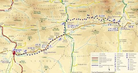
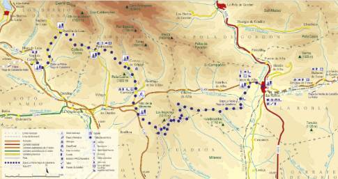
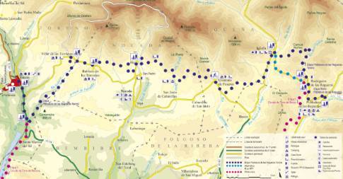
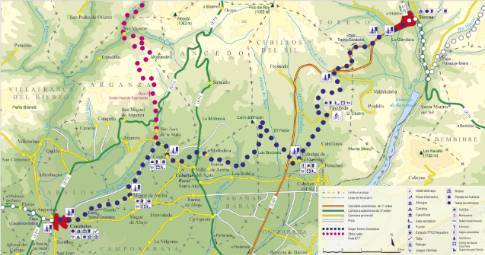
 High resolution image. This link will open using lightbox, there may be a context switch From Cantejeira to Cacabelos
- TYPE OF COURSE: linear.
- LENGTH: 35.8 km.
- DURATION: 3 hours 5 minutes.
- SLOPE: 784 m.
- TYPE OF ROAD: forest track (32%) and road (68%).
- DIFFICULTY OF THE SECTION: high.
- RECOMMENDED TIME: from spring to autumn.

