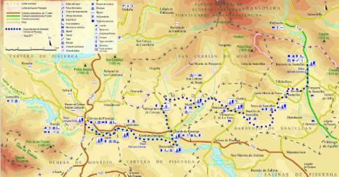
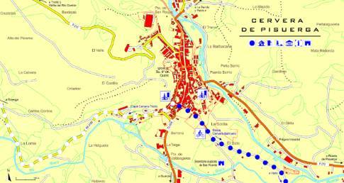
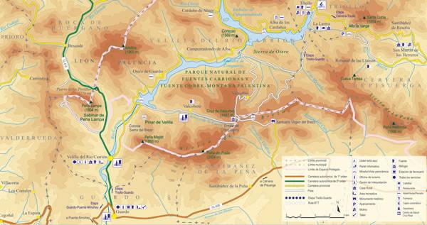
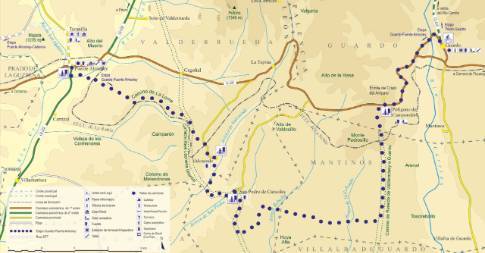
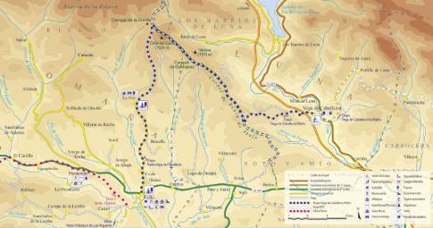
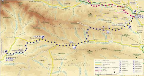
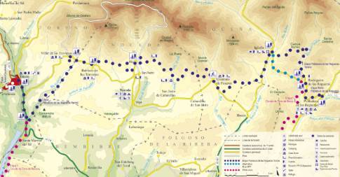
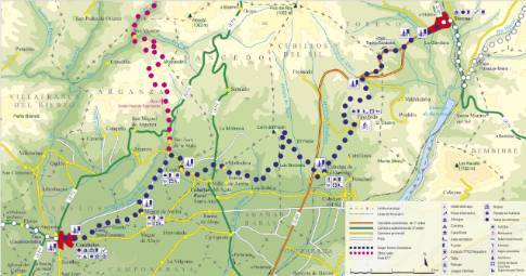
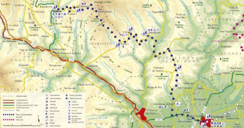
Route 1: Barruelo de Santullán - Balboa - Candanedo
- Previous
- Following
 High resolution image. This link will open using lightbox, there may be a context switch
 High resolution image. This link will open using lightbox, there may be a context switch From Candanedo to La Robla
- TYPE OF COURSE: linear.
- LENGTH: 8.8 km.
- DURATION: 1 hour.
- SLOPE: 100 m.
- TYPE OF ROAD: forest track (65%) and road (35%).
- DIFFICULTY OF THE SECTION: medium.
- RECOMMENDED TIME: all year round.
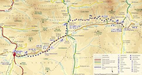
Deviating from the main road we leave Candanedo along a track that heads south and connects with La Robla road. The route crosses the tracks and continues in an easterly direction. After the detours of Rabanal and Brugos de Fenar, the road reaches the periphery of a mining property, which it is forced to go around, turning north. Immediately, the tracks are crossed again, while the route ends in La Muria to end in La Robla by road.
 High resolution image. This link will open using lightbox, there may be a context switch From Candanedo to La Vecilla

