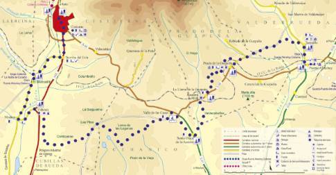
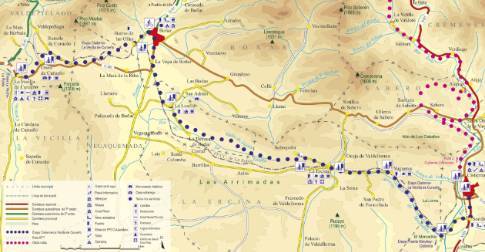
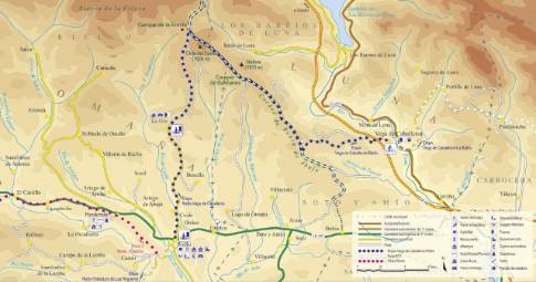
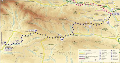
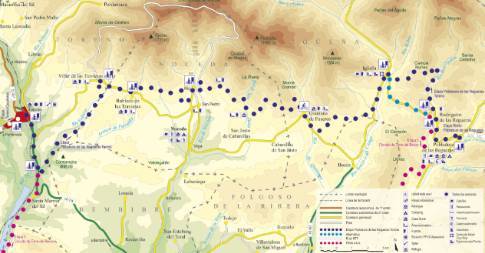
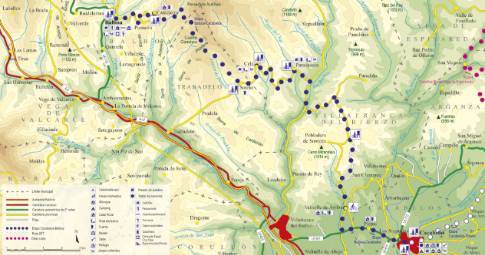
Route 1: Barruelo de Santullán - Balboa - Campohermoso
- Previous
- Following
 High resolution image. This link will open using lightbox, there may be a context switch
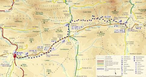
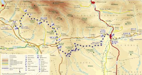
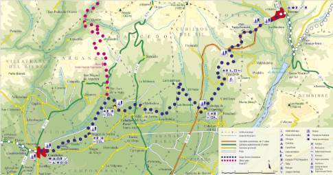
 High resolution image. This link will open using lightbox, there may be a context switch From Campohermoso to La Robla
- TYPE OF COURSE: linear.
- LENGTH: 27.3 km.
- DURATION: 3 hours 5 minutes.
- SLOPE: 320 m.
- TYPE OF ROAD: forest track (80%) and road (20%).
- DIFFICULTY OF THE SECTION: high.
- RECOMMENDED TIME: all year round.
The main street of Campohermoso becomes, at the western end of the town, a road that leads to Aviados. There the route crosses the town and ends with a descent to the Valdesalinas Valley. Following the Bardaya mine path, we arrive at Barrio de la Estación, the turning point of the stage. After taking the Orzonaga detour, we turn south along the Vega Pepina track. Follow the CL-626 towards Candanedo and from there to La Robla.
 High resolution image. This link will open using lightbox, there may be a context switch From Campohermoso to La Vecilla

