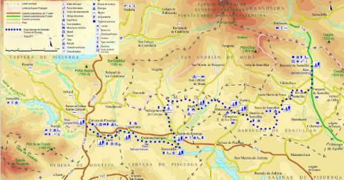
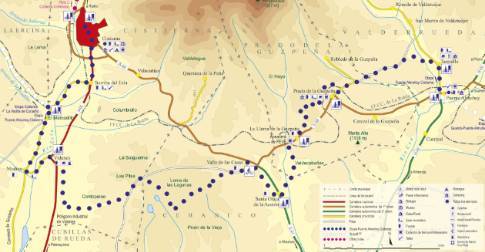
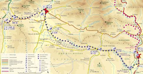
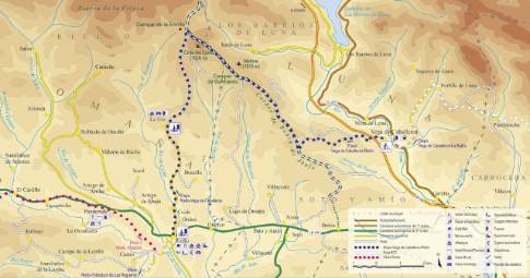
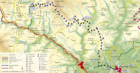
Route 1: Barruelo de Santullán - Balboa - Barrio de las Ollas
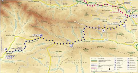
 High resolution image. This link will open using lightbox, there may be a context switch
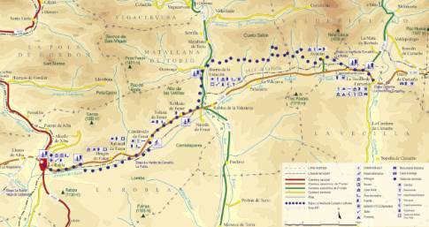
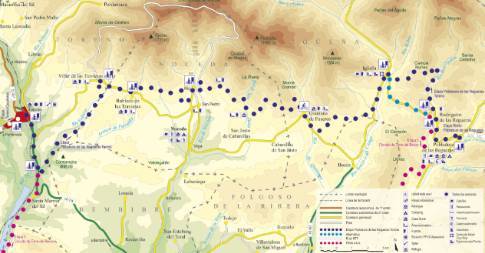
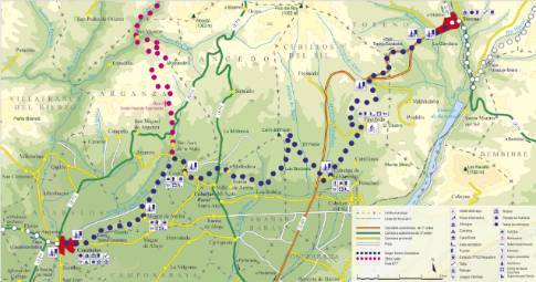
 High resolution image. This link will open using lightbox, there may be a context switch From Barrio de las Ollas to La Vecilla
- TYPE OF COURSE: linear.
- LENGTH: 7.8 km.
- DURATION: 1 hour.
- SLOPE: 90 m.
- TYPE OF ROAD: forest track (95%) and road (5%).
- DIFFICULTY OF THE SECTION: medium.
- RECOMMENDED TIME: all year round.
The street that runs through the center of Barrio de las Ollas becomes a steep track that ascends to the water tank. From there continue until you cross the train tracks and exit onto the Boñar highway. Crossing the road, you follow a path that ascends in parallel until you reach the divide between the Porma and Curueño basins. Later, the route connects with the Ranedo de Curueño highway and descends to Otero and from there, La Vecilla.
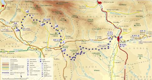
 High resolution image. This link will open using lightbox, there may be a context switch From Barrio de las Ollas to Cistierna

