Iberian Plateau
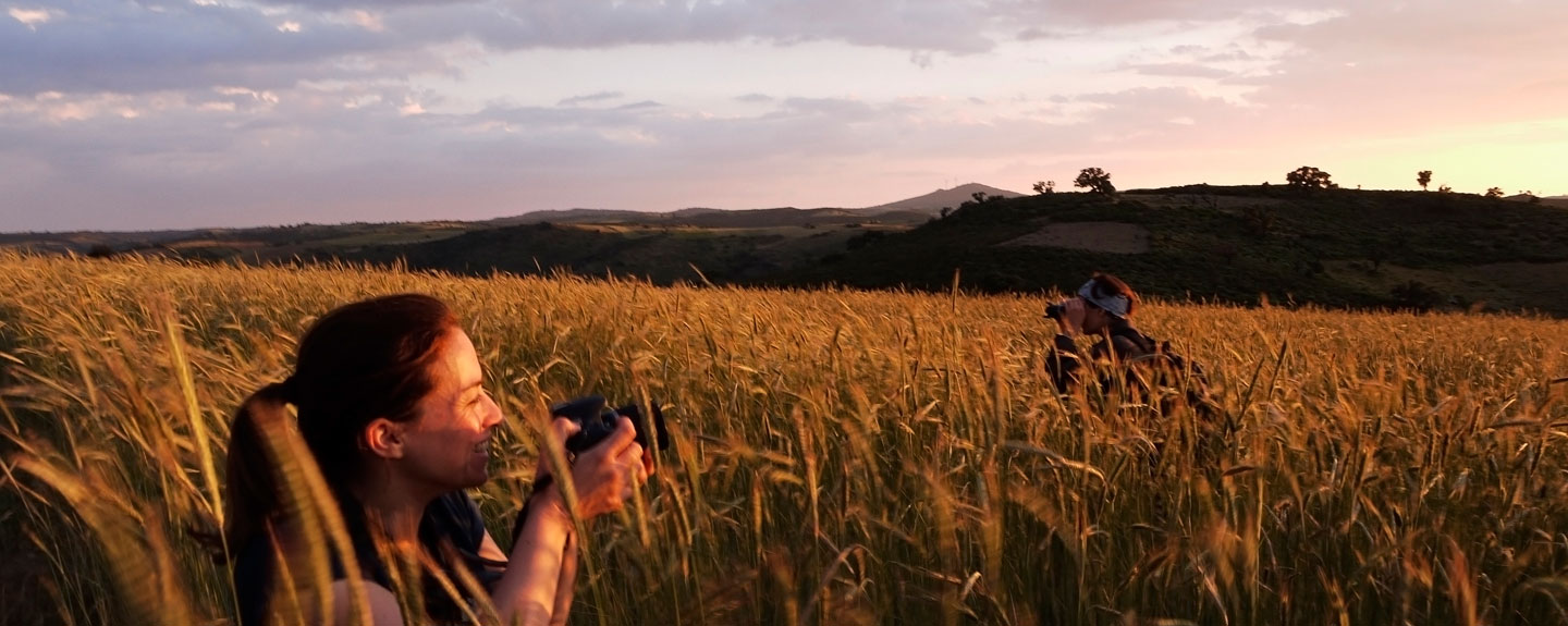
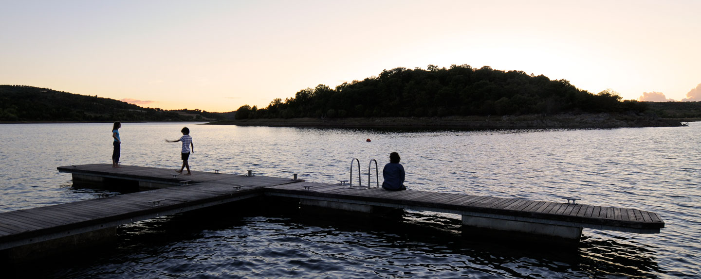
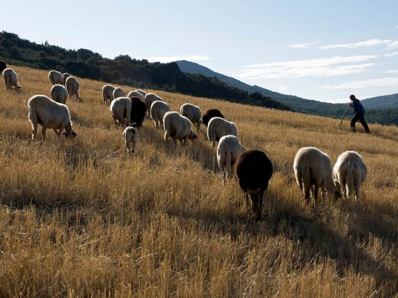
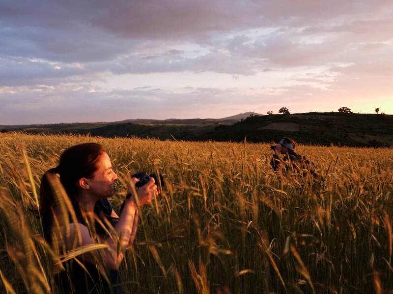
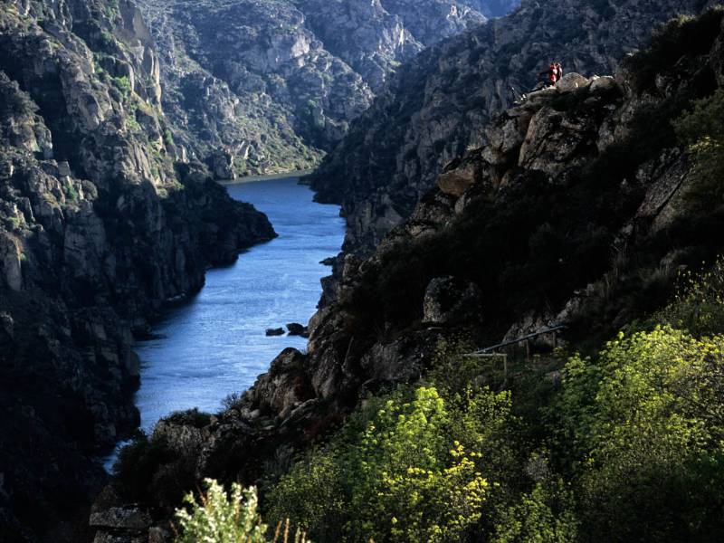
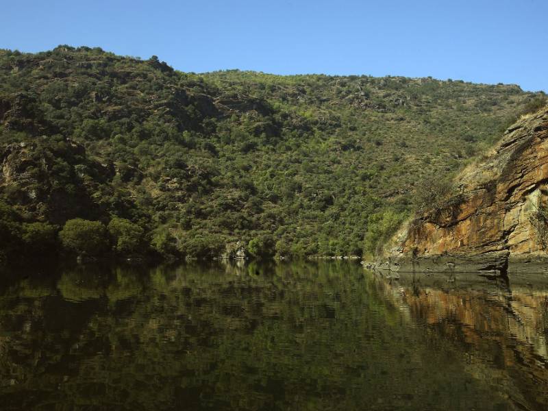
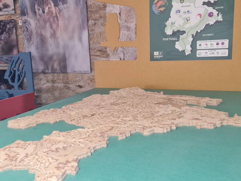
The Reserve covers a large expanse of land running along the border between Zamora, Salamanca and Portugal. Both the Portuguese and Spanish areas are home to a large number of landscapes of immense orographic variety. The land has also been put to multiple uses, resulting in a wealth of elements and intriguing scenery.
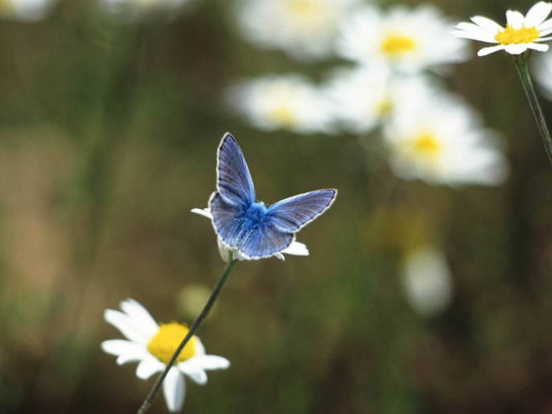
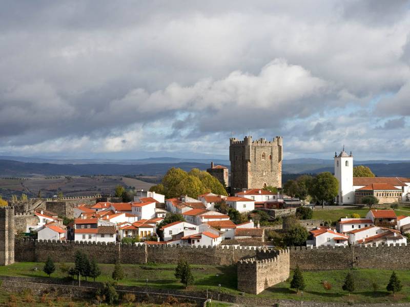
Due to its vast size, it also boasts a large number of ecosystems and species reflecting an immense biological diversity. This area also features built heritage elements dating back to the days of the Romans and the Middle Ages. Examples include the remains of forts, castles and walled enclosures in towns such as San Felices de los Gallegos in the province of Salamanca.
Enjoy this natural space
On foot and by bike
- CCL-ALI-006 Aliste River BTT RouteTo know more
In the direction of its course, it begins at the source of San Pedro de las Herrerías, in the heart of the Sierra de la Culebra ,...
- Journey
- Linear
- Way
- By bike (6 h.)
- Length
- 68.8 kms.
- Ascent slope
- 788 m.
- Difficulty of the route
- Medium
- BTT Route Camino de Ahigal de los AceiterosTo know more
Route that runs along wide roads to the town of Ahigal, returning along the GR-14 along a narrow path of great beauty delimited by...
- Journey
- Circular
- Way
- By bike (0.92 h.)
- Length
- 17.51 kms.
- Ascent slope
- 205 m.
- Difficulty of the route
- Medium
- BTT Route Camino de Fuentes de MasuecoTo know more
- Journey
- Circular
- Way
- By bike (2.75 h.)
- Length
- 48.5 kms.
- Ascent slope
- 566 m.
- Difficulty of the route
- High
- BTT Route Camino de La DehesaTo know moreA route of great beauty that passes through wide pastures of oaks through a well-preserved field, wide and adequately firm.
- Journey
- Circular
- Way
- By bike (0.75 h.)
- Length
- 11.16 kms.
- Ascent slope
- 118 m.
- Difficulty of the route
- Low
- BTT Route Camino de Las ArribesTo know moreThe cyclist will find comfortable paths immersed in a landscape of wide pastures and lands in which the cuts produced by the Duero...
- Journey
- Circular
- Way
- By bike (0.67 h.)
- Length
- 11.66 kms.
- Ascent slope
- 208 m.
- Difficulty of the route
- Low
- BTT Route Camino de San LorenzoTo know moreTour to the Tower of San Leonardo, the only remains of what was a deserted area possibly occupied until the 18th century, of great...
- Journey
- Circular
- Way
- By bike (0.83 h.)
- Length
- 12.15 kms.
- Ascent slope
- 153 m.
- Difficulty of the route
- Low
- BTT Route Camino de VilvestreTo know morePath that leads us to the neighboring town of Vilvestre, through open areas of fields and pastures, along paths with gentle slopes...
- Journey
- Circular
- Way
- By bike (2.1 h.)
- Length
- 30.4 kms.
- Ascent slope
- 527 m.
- Difficulty of the route
- High
- BTT Route Camino de la ColmeneraTo know morePath that leads us to the cave tombs of La Colmenera, in the area of Cerro de la Cabalgá. The path winds between stone walls, flooded...
- Journey
- Circular
- Way
- By bike (0.75 h.)
- Length
- 8.15 kms.
- Ascent slope
- 107 m.
- Difficulty of the route
- Very High
- BTT Route Camino de la DehesaTo know morePath that leads us through a winding path dotted with cork oaks to the La Dehesa picnic area; offering us beautiful panoramic views...
- Journey
- Circular
- Way
- By bike (1.1 h.)
- Length
- 10.82 kms.
- Ascent slope
- 341 m.
- Difficulty of the route
- Medium
- BTT Route Camino de la ErmitaTo know more
I walk towards the summit of Berrocal, where the Hermitage of Nuestra Señora del Castillo and the House of the Ermitaño are located....
- Journey
- Linear
- Way
- By bike (0.75 h.)
- Length
- 6.18 kms.
- Ascent slope
- 170 m.
- Difficulty of the route
- Medium
- BTT Route Camino de la Fuente RebollaTo know moreRoute that leads to the Rebolla Fountain, passing next to the Railway Station; running after crossing the tracks, along an increasingly...
- Journey
- Circular
- Way
- By bike (1.15 h.)
- Length
- 12.19 kms.
- Ascent slope
- 111 m.
- Difficulty of the route
- Medium
- BTT Route Camino de las AlpujarrasTo know moreThe cyclist will enjoy a landscape of wide pastures and stone walls, to pass, after leaving Masueco in a northerly direction, to...
- Journey
- Circular
- Way
- By bike (1.5 h.)
- Length
- 21.65 kms.
- Ascent slope
- 487 m.
- Difficulty of the route
- Medium
- BTT Route Camino de las CharcasTo know more
- Journey
- Circular
- Way
- By bike (0.83 h.)
- Length
- 12.1 kms.
- Ascent slope
- 108 m.
- Difficulty of the route
- Low
- BTT Route Camino de los ArrierosTo know moreIt runs along the Camaces riverbed, being one of the most beautiful sections of the trail network, as it meanders following the curves...
- Journey
- Circular
- Way
- By bike (1.92 h.)
- Length
- 34.1 kms.
- Ascent slope
- 221 m.
- Difficulty of the route
- High
- BTT Route Camino de los ZarzalesTo know moreIt connects the towns of Aldeadávila de la Ribera with La Zarza and Mieza, along well-marked circuits. You can take the variants...
- Journey
- Circular
- Way
- By bike (2.5 h.)
- Length
- 37.8 kms.
- Ascent slope
- 453 m.
- Difficulty of the route
- High
- BTT Route Camino del Molino de la PeñaTo know morePath that leads directly to the Molino de la Peña, located in a place of great beauty, where nature coexists with amazing examples...
- Journey
- Linear
- Way
- By bike (1.08 h.)
- Length
- 11.87 kms.
- Ascent slope
- 229 m.
- Difficulty of the route
- Medium
- BTT Route Camino del Molino del PasaderoTo know more
Path that directs the cyclist to the lands of Villarino, crossing places of great beauty along wide paths that ascend towards the...
- Journey
- Circular
- Way
- By bike (2.15 h.)
- Length
- 32.9 kms.
- Ascent slope
- 339 m.
- Difficulty of the route
- High
- BTT Route Camino del Molino del Tío LucasTo know more
- Journey
- Circular
- Way
- By bike (2.25 h.)
- Length
- 37.4 kms.
- Ascent slope
- 437 m.
- Difficulty of the route
- High
- BTT Route Camino del Picón QuemadoTo know morePath that leads the cyclist to the old Casa de los Camineros, continuing towards the Arribes del Huebra, while contemplating them...
- Journey
- Circular
- Way
- By bike (0.66 h.)
- Length
- 7.47 kms.
- Ascent slope
- 262 m.
- Difficulty of the route
- Medium
- BTT Route Camino del Picón de FelipeTo know moreThis route takes us towards the natural border with Portugal, created by the Duero and its arrivals. The cyclist will have to go...
- Journey
- Circular
- Way
- By bike (1 h.)
- Length
- 16.17 kms.
- Ascent slope
- 297 m.
- Difficulty of the route
- Low
- BTT Route Camino del Pozo AirónTo know morePath that leads the cyclist to the double waterfall of Pozo Airón, where they can rest in the hidden cave after the waterfall.
- Journey
- Linear
- Way
- By bike (0.92 h.)
- Length
- 7.01 kms.
- Ascent slope
- 287 m.
- Difficulty of the route
- Very High
- BTT Route Camino del Pozo de los HumosTo know more
This path leads us directly to the Pozo de los Humos viewpoint, where we can enjoy the impressive waterfall of the Uces River.
- Journey
- Circular
- Way
- By bike (1.25 h.)
- Length
- 12.01 kms.
- Ascent slope
- 312 m.
- Difficulty of the route
- Medium
- BTT Route Camino del Puente NuevoTo know more
I walk through open fields where cattle graze peacefully. After crossing the Rivera through the Puente Nuevo (large 3-eye bridge...
- Journey
- Circular
- Way
- By bike (1.83 h.)
- Length
- 22.28 kms.
- Ascent slope
- 306 m.
- Difficulty of the route
- Medium
- BTT Route Camino del Puente de los FrancesesTo know moreRoute that allows, once arriving in San Felices, to continue to two of the most relevant resources of the town: El Puente de los...
- Journey
- Circular
- Way
- By bike (1.92 h.)
- Length
- 34.6 kms.
- Ascent slope
- 500 m.
- Difficulty of the route
- High
- BTT Route Camino del SaltoTo know moreDifficult path that leads to the descent of Salto de Saucelle. It is a stretch of great beauty and hardness.
- Journey
- Circular
- Way
- By bike (1.15 h.)
- Length
- 14.9 kms.
- Ascent slope
- 508 m.
- Difficulty of the route
- Very High
- BTT Route Camino del Teso de San CristóbalTo know morePath that leads the cyclist towards the lands of Villarino, crossing lands with broad horizons and avoiding small streams to reach...
- Journey
- Circular
- Way
- By bike (2.5 h.)
- Length
- 28.6 kms.
- Ascent slope
- 561 m.
- Difficulty of the route
- High
- BTT Route Camino del UcedoTo know morePath that takes the cyclist into a landscape of farmland with cereal fields and holm oak pastures. It is a quiet and pleasant road
- Journey
- Circular
- Way
- By bike (0.75 h.)
- Length
- 11.65 kms.
- Ascent slope
- 267 m.
- Difficulty of the route
- Low
- BTT Route Great BTT RouteTo know moreIts long route allows the cyclist to travel through the most beautiful corners of the trail network, as well as start any of the...
- Journey
- Circular
- Way
- By bike (4.58 h.)
- Length
- 71.3 kms.
- Ascent slope
- 1,471 m.
- Difficulty of the route
- High
- BTT Route Great RouteTo know more
- Journey
- Circular
- Way
- By bike (3.75 h.)
- Length
- 64 kms.
- Ascent slope
- 680 m.
- Difficulty of the route
- High
- CCL-NUE-005 BTT Route La Caduerna RouteTo know more
The route runs through landscapes of high peaks and winding paths of lush vegetation, crisscrossed by various banks and fountains...
- Journey
- Circular
- Way
- By bike (4.5 h.)
- Length
- 41 kms.
- Ascent slope
- 1,328 m.
- Difficulty of the route
- Medium-High
- BTT route Old path of the Froya Bridge - ValiciboTo know moreA very long path through a beautiful path of limited width and relative difficulty, passing under the Puente del Froya (iron bridge...
- Journey
- Linear
- Way
- By bike (2.15 h.)
- Length
- 33.1 kms.
- Ascent slope
- 963 m.
- Difficulty of the route
- High
- BTT route Old path of the RedondaTo know morePath that connects the towns of Sobradillo and La Redonda along paths of great environmental attraction; running through wide pastures,...
- Journey
- Circular
- Way
- By bike (0.67 h.)
- Length
- 12.27 kms.
- Ascent slope
- 92 m.
- Difficulty of the route
- Low
- BTT route Old road of La ZarzaTo know moreThe cyclist will enjoy typical landscapes of the Penillanura, where cattle, grass and holm oaks become a landscape spectacle of great...
- Journey
- Circular
- Way
- By bike (1.83 h.)
- Length
- 26.3 kms.
- Ascent slope
- 383 m.
- Difficulty of the route
- High
- BTT route Old road of LumbralesTo know moreAn ancient road traveled by carts and horses, it runs along winding paths of great beauty; passing just a few meters from the Castro...
- Journey
- Circular
- Way
- By bike (1.75 h.)
- Length
- 27.9 kms.
- Ascent slope
- 165 m.
- Difficulty of the route
- Medium
- BTT route Old road of San Felices de los GallegosTo know moreRoute that goes to the historic town of San Felices through beautiful Dehesa landscapes and important slopes; enjoying exceptional...
- Journey
- Circular
- Way
- By bike (1.67 h.)
- Length
- 28 kms.
- Ascent slope
- 420 m.
- Difficulty of the route
- Medium
- CCL-PDS-002 BTT route Puebla-Lago de SanabriaTo know more
The "Puebla-Lago de Sanabria" route takes its name from the glacial lake that, with its 318 hectares of surface and a depth that...
- Journey
- Circular
- Way
- By bike (3.75 h.)
- Length
- 31.9 kms.
- Ascent slope
- 644 m.
- Difficulty of the route
- Medium
- BTT route Route to the Tía Luisa millTo know morePath that leads us to the neighboring town of Vilvestre, through sections of significant slope and rocky outcrops. After leaving...
- Journey
- Circular
- Way
- By bike (2.58 h.)
- Length
- 33.8 kms.
- Ascent slope
- 702 m.
- Difficulty of the route
- Very High
- BTT route on the way to VillasbuenasTo know more
- Journey
- Circular
- Way
- By bike (1.25 h.)
- Length
- 19.6 kms.
- Ascent slope
- 191 m.
- Difficulty of the route
- Low
- Bajo Tormes Cycle TrailTo know more
- Journey
- Linear
- Way
- By bike (4.33 h.)
- Length
- 60 kms.
- Difficulty of the route
- Low
- Camino del Duero BTT RouteTo know morePath that leads us to the waters of the Duero, enjoying winding paths to the Mirador del Monte de los Negritos, which offers us an...
- Journey
- Circular
- Way
- By bike (1.42 h.)
- Length
- 11.31 kms.
- Ascent slope
- 512 m.
- Difficulty of the route
- High
- Camino del Huebra BTT RouteTo know more
- Journey
- Circular
- Way
- By bike (1.83 h.)
- Length
- 26.6 kms.
- Ascent slope
- 307 m.
- Difficulty of the route
- Medium
- Camino del Sierro BTT RouteTo know morePath that directs the cyclist towards the cereal fields and holm oak pastures, until surrounding the Sierro, one of the highest elevations...
- Journey
- Circular
- Way
- By bike (0.91 h.)
- Length
- 15.41 kms.
- Ascent slope
- 307 m.
- Difficulty of the route
- Low
- Lago Sanabria - Senda 2 Canyon of ForcaduraTo know more
In the village of Vigo we can admire the hermitage of the Virgen de Gracias, a 17th century bridge and a varied sample of popular...
- Journey
- Linear
- Way
- On foot (5 h.)
- Length
- 14 kms.
- Difficulty of the route
- High
- Lago Sanabria - Senda 3 Canyon of the TeraTo know more
This is one of the best ways to observe glacier modeling. We can find interesting specimens of flora in the thalwegs that flow into...
- Journey
- Circular
- Way
- On foot (6 h.)
- Length
- 12 kms.
- Difficulty of the route
- High
- Lago Sanabria - Senda 4 Cardena Canyon - Pico del FraileTo know more
- Journey
- Circular
- Way
- On foot (5 h.)
- Length
- 10.5 kms.
- Difficulty of the route
- High
- GR-14 Douro PathTo know more
This natural path, also known as GR-14, crosses the region of Castile and León, and after starting in the Urbión mountain range in...
- Journey
- Linear
- Way
- On foot
- Length
- 115 kms.
- Recommended
- spring
- summer
- autumn
- winter
- Difficulty of the route
- Low
- Experience the Camino de Hiero in the Arribes del Duero in SalamancaTo know more
The milestone of 19th century civil engineering is today one of the most captivating hiking routes, running through an extraordinarily...
- Journey
- Linear
- Way
- On foot (6 h.)
- Length
- 17 kms.
- Descent slope
- 325 m.
- Recommended
- spring
- autumn
- winter
- Difficulty of the route
- Medium
- Fariza to the Las Barrancas viewpointTo know more
The path crosses the stream through Puente del Puerto and heads towards Ermita del Castillo and Mirador de Las Barrancas, passing...
- Journey
- Circular
- Way
- On foot (2 h.)
- By bike (1 h.)
- Length
- 7.2 kms.
- Recommended
- spring
- summer
- autumn
- winter
- GR 84 Grand Tour Route Mountain of Sanabria, from Porto to the Refuge of LaiolTo know more
- Journey
- Journey
- Way
- On foot (4.45 h.)
- Length
- 14.4 kms.
- Ascent slope
- 599 m.
- Difficulty of the route
- High
- GR 84 Grand Tour Route Mountain of Sanabria, from the Park House Lago de Sanabria to the Refuge of YeguasTo know more
- Journey
- Journey
- Way
- On foot (6.4 h.)
- Length
- 17.7 kms.
- Ascent slope
- 870 m.
- Difficulty of the route
- High
- GR 84 Grand Tour Route Mountain of Sanabria, from the Refuge of Laiol to the Refuge of the OdosiaTo know more
- Journey
- Journey
- Way
- On foot (4 h.)
- Length
- 13.3 kms.
- Ascent slope
- 393 m.
- Difficulty of the route
- High
- GR 84 Grand Tour Route Mountain of Sanabria, from the Refuge of Odosia to the Park House of Sanabria Lake Natural ParkTo know more
- Journey
- Journey
- Way
- On foot (3.3 h.)
- Length
- 13.3 kms.
- Ascent slope
- 490 m.
- Difficulty of the route
- High
- GR 84 Grand Tour Route Mountain of Sanabria, from the Refuge of Riopedro to PortoTo know more
- Journey
- Journey
- Way
- On foot (7.15 h.)
- Length
- 22 kms.
- Ascent slope
- 620 m.
- Difficulty of the route
- High
- GR 84 Grand Tour Route Mountain of Sanabria, from the Refuge of Yeguas to the Refuge of RiopedroTo know more
- Journey
- Journey
- Way
- On foot (6 h.)
- Length
- 15.1 kms.
- Ascent slope
- 310 m.
- Difficulty of the route
- High
- La Barca TrailTo know more
Between orchards and curtains, this path leads the walker along old cobbled paths to places that offer some of the most impressive...
- Journey
- Circular
- Way
- On foot (2.5 h.)
- Length
- 5 kms.
- Ascent slope
- 481 m.
- Recommended
- spring
- summer
- autumn
- winter
- Difficulty of the route
- Medium
- CCL-TRA-004 La Raya BTT RouteTo know more
The border route with Portugal, popularly known as "La Raya", runs through the towns of TrabazosNuezSan Martín del Pedroso
- Journey
- Circular
- Way
- By bike (4.5 h.)
- Length
- 47.1 kms.
- Ascent slope
- 1,350 m.
- Difficulty of the route
- Medium-High
- Lago Sanabria - Senda 7 Lagoon of los Peces a Peña TrevincaTo know more
This trail reaches Peña Trevinca (2.172 m), the top of the protected area. It is not recommended with fog.
- Journey
- Circular
- Way
- On foot (10 h.)
- Length
- 24 kms.
- Ascent slope
- 400 m.
- Difficulty of the route
- High
- Lago Sanabria - Senda 9 Lagoon of the Peces - Lagoon of the YeguasTo know more
- Journey
- Linear
- Way
- On foot (2 h.)
- Length
- 6 kms.
- Difficulty of the route
- Low
- MTB Route Camino de las CallejasTo know more
- Journey
- Circular
- Way
- By bike (1.5 h.)
- Length
- 20.3 kms.
- Ascent slope
- 233 m.
- Difficulty of the route
- Medium
- MTB Route Camino del ValleanchoTo know moreRoute that crosses the pasture along a winding path of great beauty, to the neighboring town of Lumbrales
- Journey
- Circular
- Way
- By bike (1.08 h.)
- Length
- 22.93 kms.
- Ascent slope
- 137 m.
- Difficulty of the route
- Low
- Magic Stones TrailTo know more
The surroundings of the small town of La Redonda offer a simple landscape, but of singular beauty to which history, the imagination...
- Journey
- Circular
- Way
- On foot (2.66 h.)
- Length
- 9 kms.
- Ascent slope
- 296 m.
- Recommended
- spring
- summer
- autumn
- winter
- Difficulty of the route
- Low
- Masueco Way BTT RouteTo know moreAlong this easy route, the cyclist will pass through spaces of great natural interest, being able to leave the bike and visit the...
- Journey
- Circular
- Way
- By bike (0.75 h.)
- Length
- 11.74 kms.
- Ascent slope
- 316 m.
- Difficulty of the route
- Low
- CCL- SLC-001 Mountain Bike Route Sierra de La CulebraTo know more
The Sierra de la Culebra is a mountain range with a soft and rounded relief, located in the northwest of the province of Zamora,...
- Journey
- Circular
- Way
- By bike (25 h.)
- Length
- 201 kms.
- Ascent slope
- 3,143 m.
- Difficulty of the route
- Medium-High
- Old BTT Route of the SaltoTo know moreThis route directs the cyclist to the best views of Las Arribes del Duero, being able to enjoy them both on the route itself and...
- Journey
- Circular
- Way
- By bike (2.75 h.)
- Length
- 39.8 kms.
- Ascent slope
- 1,040 m.
- Difficulty of the route
- High
- Path of FruitsTo know more
From the municipality of Ahigal de los Aceiteros to the area of La Carrasquera, there is a round trip path nine kilometers long,...
- Journey
- Linear
- Way
- On foot (2.66 h.)
- By bike (2.66 h.)
- Length
- 9 kms.
- Ascent slope
- 114 m.
- Recommended
- spring
- summer
- autumn
- winter
- Difficulty of the route
- Low
- Pereña de la Ribera - Mirador de la ErmitaTo know more
In this border area, shortly before it passes Pereña de la Ribera, the Duero River has carved some impressive meanders as it passes...
- Journey
- Linear
- Way
- On foot (2 h.)
- By bike (1 h.)
- Length
- 5.8 kms.
- Recommended
- spring
- summer
- autumn
- winter
- Picón de Felipe RouteTo know more
One of the most spectacular routes in Arribes. It begins in Aldeadávila and approaches the most abrupt area of the Duero River...
- Journey
- Circular
- Way
- On foot (2.66 h.)
- Length
- 12 kms.
- Ascent slope
- 312 m.
- Recommended
- spring
- summer
- autumn
- winter
- Difficulty of the route
- Medium
- Lago Sanabria - Senda 8 Porto de Sanabria-Valdesirgas-ValdeinfiernoTo know more
- Journey
- Linear
- Way
- On foot (5 h.)
- Length
- 10.5 kms.
- Difficulty of the route
- Medium-High
- Lago Sanabria - Senda 5 Ribadelago Nuevo - Laguna de SotilloTo know more
To get to Sotillo from the lagoon it is better to do so through the connection, enjoying thus the waterfalls and one of the main...
- Journey
- Linear
- Way
- On foot (6 h.)
- Length
- 12 kms.
- Ascent slope
- 600 m.
- Difficulty of the route
- Medium-High
- Rupitin RouteTo know more
We start from the Plaza de Aldeadávila, we will head down Calle de Abajo towards the hermitage of La Santa, where we will leave the...
- Journey
- Circular
- Way
- On foot (3.83 h.)
- Length
- 13.2 kms.
- Ascent slope
- 523 m.
- Recommended
- spring
- summer
- autumn
- winter
- Difficulty of the route
- High
- Rupurupay RouteTo know more
Just like to go to Rupitín we would start from the Plaza de Aldeadávila towards the hermitage of La Santa. Once the path has begun,...
- Journey
- Circular
- Way
- On foot
- Length
- 8.6 kms.
- Recommended
- spring
- summer
- autumn
- winter
- Difficulty of the route
- Medium
- SA10 SA10 - Pinero Waterfalls and Pozo de los Humos RouteTo know more
Located in the Arribes del Duero Natural Park. From Masueco we walked surrounded by orchards and fruit trees to the Pinero Waterfall,...
- Journey
- Circular
- Way
- On foot
- Length
- 12.8 kms.
- Ascent slope
- 226 m.
- Difficulty of the route
- Medium-Low
- SA2 SA2 - Iron RoadTo know more
Located in the Arribes del Duero Natural Park. The Camino de Hierro is a pedestrian route that runs along a section of railway line...
- Journey
- Linear
- Way
- On foot
- Length
- 17 kms.
- Descent slope
- 330 m.
- Difficulty of the route
- Medium
- SA6 SA6 - Duero PathTo know more
Located in the Arribes del Duero Natural Park. This route covers the last section of the Senda del Duero through the territory of...
- Journey
- Linear
- Way
- On foot
- By bike
- Length
- 51.2 kms.
- Ascent slope
- 218 m.
- Difficulty of the route
- Medium-Low
- SA8 SA8 - Route of the Majadas del RostroTo know more
Located in the Arribes del Duero Natural Park. The route begins at the Monument to the Cabrero, in front of the tourist office, and...
- Journey
- Linear
- Way
- On foot
- Length
- 6.7 kms.
- Ascent slope
- 6 m.
- Difficulty of the route
- Low
- SA9 SA9 - Smugglers' PathTo know more
Located in the Arribes del Duero Natural Park. The border location of Hinojosa greatly affected it during the Spanish-Portuguese...
- Journey
- Linear
- Way
- On foot
- Length
- 7.5 kms.
- Ascent slope
- 180 m.
- Difficulty of the route
- Low
- Lago Sanabria - Senda 10 San Ciprian - Cascada de Los VadosTo know more
Between paths and streams, this route gets the explorer into the valley of the River Trefacio, accompanying him until the arrival...
- Journey
- Circular
- Way
- On foot (3 h.)
- Length
- 8.5 kms.
- Difficulty of the route
- Low
- Smoke WellTo know more
In seasons with abundant water, a visit to the Pozo de Los Humos is essential. This waterfall, the most famous in western Salamanca,...
- Journey
- Linear
- Way
- On foot (1.5 h.)
- Length
- 7 kms.
- Ascent slope
- 220 m.
- Recommended
- spring
- autumn
- winter
- Difficulty of the route
- Low
- SL Smugglers RouteTo know more
The route shows the old tour followed by smugglers to exchange and deal with merchandise.
- Journey
- Linear
- Way
- On foot (2 h.)
- Length
- 7.5 kms.
- Ascent slope
- 180 m.
- Recommended
- spring
- summer
- autumn
- winter
- Difficulty of the route
- Low
- The Duero from AbelonTo know more
The descent to the Pozo de Cubo mill is surprising. Here besides this construction, there is the waterfall of the same name. Spectacular...
- Journey
- Circular
- Way
- On foot (2.3 h.)
- By bike (1 h.)
- Length
- 8.3 kms.
- Recommended
- spring
- summer
- autumn
- winter
- The Oil TrailTo know more
This landscape shaped by olive oil, its culture and the traces it has left on the people of these towns is the protagonist of this...
- Journey
- Circular
- Way
- On foot (4 h.)
- Length
- 11.4 kms.
- Ascent slope
- 443 m.
- Recommended
- spring
- summer
- autumn
- winter
- Difficulty of the route
- Low
- Lago Sanabria - Senda 1 The lake and the monksTo know more
It is recommended to take a diversion at the camping ‘Los Robles’ to visit Bouzas, one of the most beautiful places.
- Journey
- Circular
- Way
- On foot (4 h.)
- By bike (4 h.)
- Length
- 12 kms.
- Difficulty of the route
- Medium
- Lago Sanabria - Senda 6 Waterfall of SotilloTo know more
The route goes through a well-preserved wet forest where some examples of Holly stand out due to their good appearance.
- Journey
- Circular
- Way
- On foot (3 h.)
- Length
- 6 kms.
- Ascent slope
- 400 m.
- Difficulty of the route
- Medium
- Z1 Z1 - Viewpoint of the "Escaleras" TrailTo know more
Located in the Arribes del Duero Natural Park. The trail begins near the Hermitage of Santa Cruz, in the town of Fermoselle. A route...
- Journey
- Linear
- Way
- On foot
- By bike
- Length
- 3.5 kms.
- Ascent slope
- 311 m.
- Difficulty of the route
- Low
- Z10 Z10 - Villardeciervos Route -Cional-BeachesTo know more
Located in the Sierra de la Culebra. A beautiful circular route of just over 12 km in distance and of easy difficulty, where you...
- Journey
- Circular
- Way
- On foot
- Length
- 12.56 kms.
- Ascent slope
- 181 m.
- Difficulty of the route
- Low
- Z3 Z3 - Path of the Lake and the MonksTo know more
Located in the Natural Park of Lake Sanabria and Sierras de Segundera and Porto. From the Los Enanos beach parking lot we headed...
- Journey
- Circular
- Way
- On foot
- Length
- 10 kms.
- Ascent slope
- 250 m.
- Difficulty of the route
- Medium
- Z4 Z4 - Abelón Waterfalls RouteTo know more
Located in the Arribes del Duero Natural Park. The beginning of the route runs between farms surrounded by stone walls next to which...
- Journey
- Circular
- Length
- 8.5 kms.
- Ascent slope
- 670 m.
- Difficulty of the route
- Low
- Z5 Z5 - Towards Porto via Valdesirgas and ValdeinfiernoTo know more
Located in the Natural Park of Lake Sanabria and Sierras de Segundera and Porto. This path, starting in Porto de Sanabria, heads...
- Journey
- Circular
- Way
- On foot
- Length
- 10.5 kms.
- Ascent slope
- 250 m.
- Difficulty of the route
- Medium-High
- Z7 Z7 - Mills TrailTo know more
Located in Aliste. We begin this route in Riofrío, walking among its buildings of traditional architecture made with quartzite and...
- Journey
- Linear
- Way
- On foot
- By bike
- Length
- 6 kms.
- Ascent slope
- 262 m.
- Difficulty of the route
- Low
- Z8 Z8 - Laguna de los Peces Trail to Peña TrevincaTo know more
Located in the Natural Park of Lake Sanabria and Sierras de Segundera and Porto. From the Laguna de los Peces parking lot we take...
- Journey
- Linear
- Way
- On foot
- Length
- 24 kms.
- Ascent slope
- 400 m.
- Difficulty of the route
- High
- Z9 Z9 - Banco el Hullón RouteTo know more
Located in the Arribes del Duero Natural Park. We start from the parking lot of the Villadepera pool.
After leaving the town, we...
- Journey
- Linear
- Way
- On foot
- Length
- 8 kms.
- Ascent slope
- 271 m.
- Difficulty of the route
- Low

