Route 1: Barruelo de Santullán - Balboa Vega de Caballeros - Riello
Stage 9 belonging to Route 1: Barruelo de Santullán - Balboa
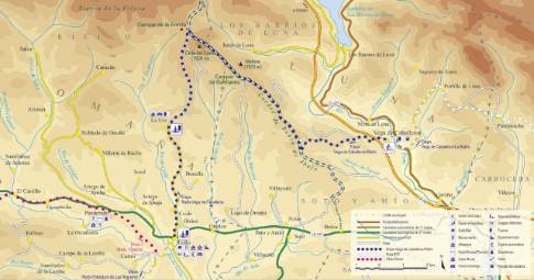
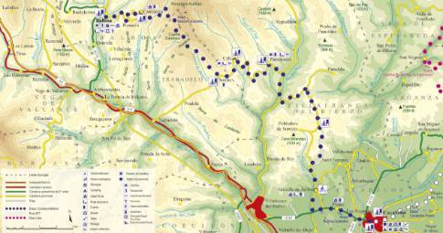
Linear route of 24.2 km in length and an estimated duration of 3 hours with a gradient of 310 meters. Forest track (75%) and road (25%). High difficulty. Recommended time: spring to autumn. In winter the upper parts of the route can be covered in snow.
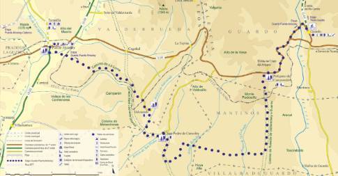
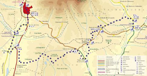
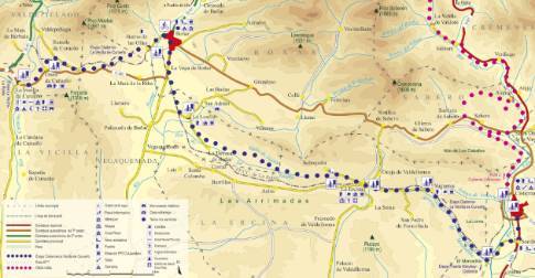
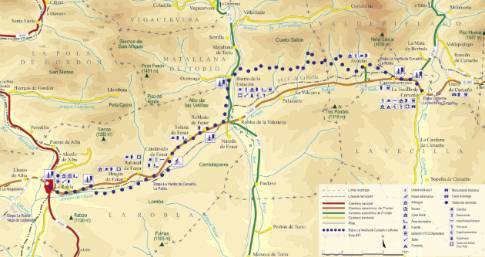
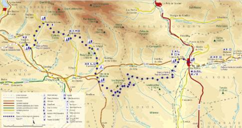
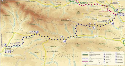
Route map
 High resolution image. This link will open using lightbox, there may be a context switch
Tips and recommendations
There are no fountains along the entire route, so it is advisable to fill your canteen before starting the walk.
Although between La Urz and Riello the route runs along a local road with little traffic, you must drive with caution and always on the right side of the road.
Points of interest
The upper part of the route runs along the Babia de Abajo cordel, a livestock route that the herds of transhumant merina used to access the ports of Torrestío and San Emiliano, in Babia, from the regions of Luna and Omaña.
Discover it as you pass through {0}
- La Urz
From La Urz to Riello LENGTH: 6.2 km. DURATION: 30 minutes. SLOPE: 210 m. TYPE OF ROAD: road (100%). DIFFICULTY OF THE SECTION: low. RECOMMENDED TIME: all year round. When leaving...
- Departure from Vega de Caballeros
Taking the so-called Camino de Valdecorro, the route leaves Vega de Caballeros through the upper part of the town, passing next to the church. Immediately there is an underpass that allows you to cross...
- Departure from Riello
In the center of Riello, take the secondary road that leads to La Urz. It is a route of approximately 6 km, mostly of progressive ascent, although with a somewhat harder section between the Ceide hamlet...

