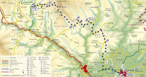
Route 1: Barruelo de Santullán - Balboa - Piedrasecha
La Robla - Vega de Caballeros
- Previous
- Following
 High resolution image. This link will open using lightbox, there may be a context switch
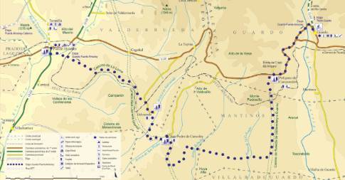
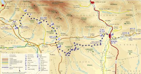
 High resolution image. This link will open using lightbox, there may be a context switch From Piedrasecha to Vega de Caballeros
- TYPE OF COURSE: linear.
- LENGTH: 9.1 km.
- DURATION: 55 minutes.
- SLOPE: 300 m.
- TYPE OF ROAD: forest track (41%) and road (59%).
- DIFFICULTY OF THE SECTION: medium.
- RECOMMENDED TIME: spring to autumn.
In Piedrasecha, we take the Portilla de Luna road. The route reaches the upper part of the plain and reaches the top of the Coros hill, at 1,311 m above sea level. On the descent, we continue along the local road, following the bed of the Portilla River. At that point, the route exits onto the highway from La Magdalena to Barrios de Luna. This road, which runs parallel to the meanders of the Luna River, leads north and a few kilometers to our end of the stage in Vega de Caballeros.


