Route 4: Cueto - Fabero - San Vicente
- Previous
- Following
 High resolution image. This link will open using lightbox, there may be a context switch
 High resolution image. This link will open using lightbox, there may be a context switch From San Vicente to Cueto
- TYPE OF COURSE: linear.
- LENGTH: 12.1 km.
- DURATION: 1 hour 20 minutes.
- SLOPE: 350 m.
- TYPE OF ROAD: forest track (78%) and road (22%).
- DIFFICULTY OF THE SECTION: high.
- RECOMMENDED TIME: from spring to autumn.
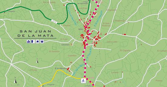
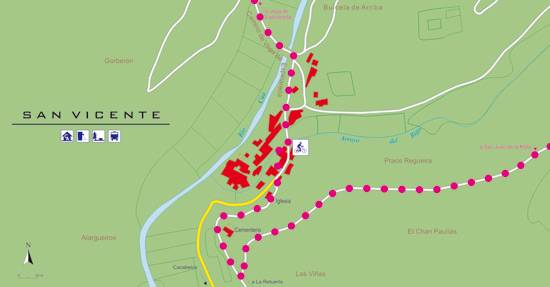
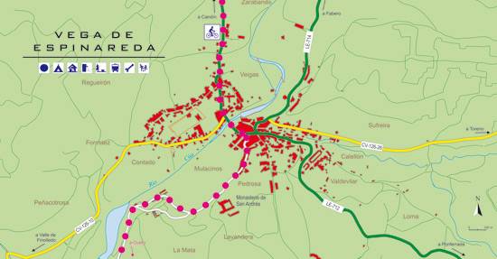
Following the central street of San Vicente in the direction of Cacabelos, we turn left to the neighborhood of La Retuerta. Passing the cemetery, we take a detour to the left that takes us to the top of La Cruz. After taking the left branch, we will arrive at San Juan de la Mata. From there, the final stretch is a plain along the Vega de Rey that ends in Cueto, which we reach on a route shared with route 1 (Barruelo de Santullán- Balboa).


