Route 3: Riello - Villablino - Vegarienza
- Previous
- Following
 High resolution image. This link will open using lightbox, there may be a context switch
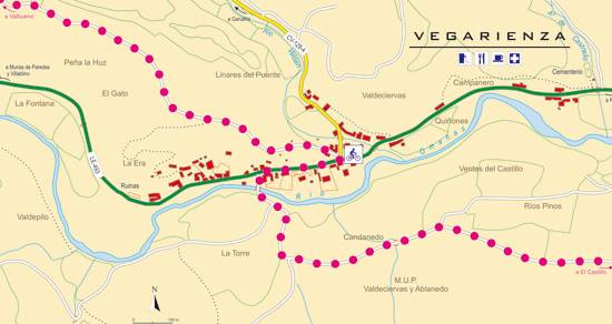
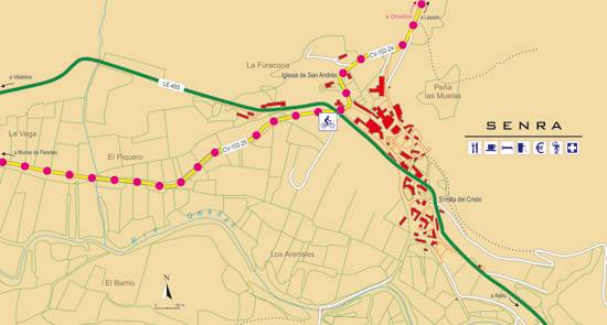
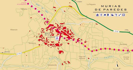
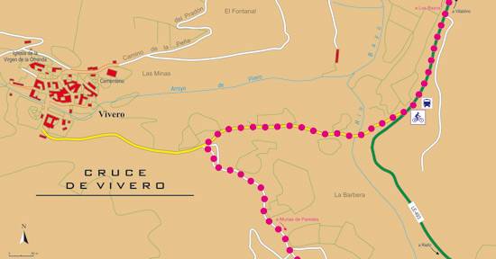
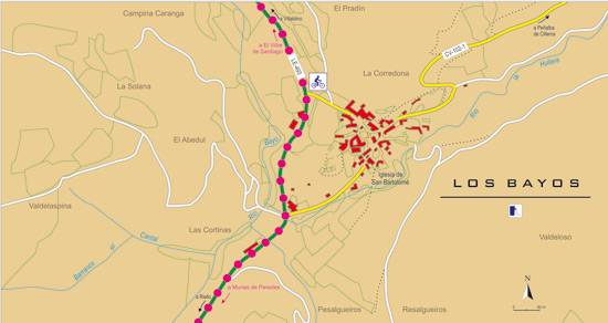
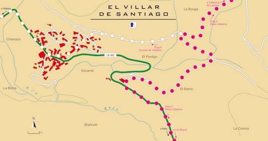
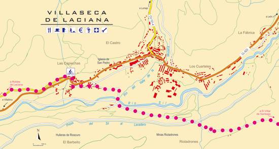
 High resolution image. This link will open using lightbox, there may be a context switch From Vegarienza to Villablino
- TYPE OF COURSE: linear.
- LENGTH: 43.2 km.
- DURATION: 3 hours 50 minutes.
- SLOPE: 400 m.
- TYPE OF ROAD: forest track (40%) and road (60%).
- DIFFICULTY OF THE SECTION: high.
- RECOMMENDED TIME: from spring to autumn.
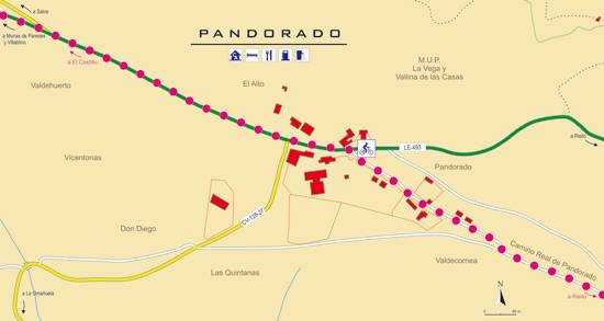
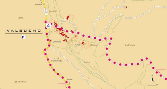
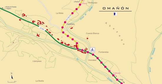
In the center of Vegarienza, we take a forest track towards Valbueno. There, you descend to Omañón and, later, to Senra. In this town, we cross the Villablino road to connect with Murias de Paredes. After exiting the Villablino road, we descend towards El Villar de Santiago. At the entrance to this town, the route deviates until it reaches Villaseca. In the final section, we climb to Robles de Laciana to descend to Rioscuro, near Villablino.
 High resolution image. This link will open using lightbox, there may be a context switch From Vegarienza to Riello
- TYPE OF COURSE: linear.
- LENGTH: 10.8 km.
- DURATION: 1 hour.
- SLOPE: 110 m.
- TYPE OF ROAD: forest track (40%) and road (60%).
- DIFFICULTY OF THE SECTION: medium.
- RECOMMENDED TIME: from spring to autumn.

