Route 3: Riello - Villablino - Cruce de Vivero
- Previous
- Following
 High resolution image. This link will open using lightbox, there may be a context switch
 High resolution image. This link will open using lightbox, there may be a context switch From Cruce de Vivero to Villablino
- TYPE OF COURSE: linear.
- LENGTH: 18.4 km.
- DURATION: 1 hour 45 minutes.
- SLOPE: 385 m.
- TYPE OF ROAD: forest track (43%) and road (57%).
- DIFFICULTY OF THE SECTION: high.
- RECOMMENDED TIME: from spring to autumn.
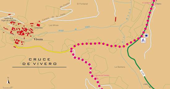
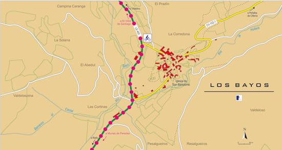
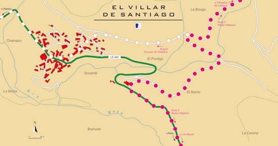
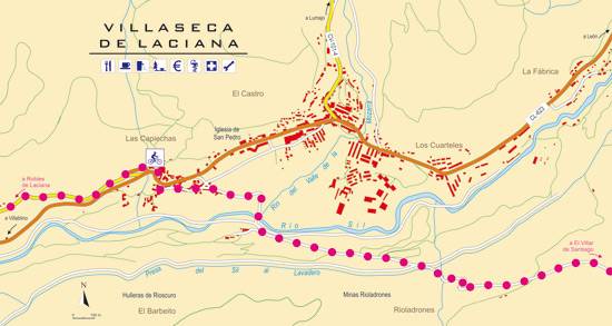
At the Vivero crossing, the route descends towards Villablino and Alto Sil through the Bayo River valley. Just before the first houses of El Villar de Santiago, the route deviates to the right along a mining track that takes us to the vicinity of the Carrasconte Sanctuary. A couple of kilometers before the sanctuary, we will find a forest path on the left that leads in a steep descent to Villaseca de Laciana. Already in the valley of the Sil River, we face the last stretch to Villablino.


