Route 3: Riello - Villablino - Los Bayos
- Previous
- Following
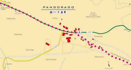
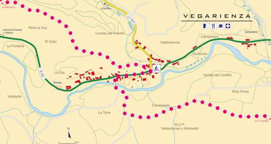
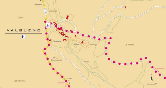
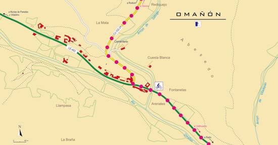
 High resolution image. This link will open using lightbox, there may be a context switch
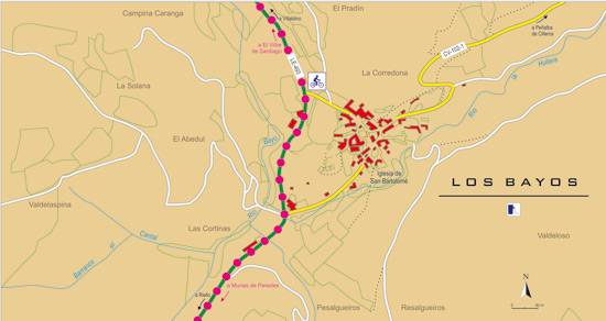
 High resolution image. This link will open using lightbox, there may be a context switch From Los Bayos to Villablino
- TYPE OF COURSE: linear.
- LENGTH: 16.5 km.
- DURATION: 1 hour 35 minutes.
- SLOPE: 270 m.
- TYPE OF ROAD: forest track (50%) and road (50%).
- DIFFICULTY OF THE SECTION: high.
- RECOMMENDED TIME: from spring to autumn.
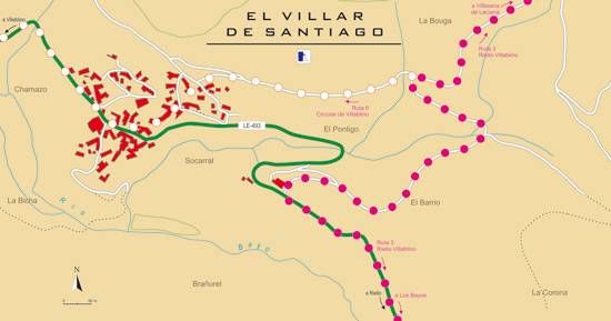
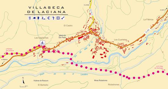
On its descent towards Laciana, the route reaches its first milestone in El Villar de Santiago, where it turns right along a mining track. This path goes up a steep slope to change slope and go down towards the Sanctuary of Our Lady of Carrasconte. Before the sanctuary, we will find a forest path on the left that leads to Villaseca de Laciana. There, the route climbs to Robles de Laciana, to face the final descent to Villablino.
 High resolution image. This link will open using lightbox, there may be a context switch From Los Bayos to Riello

