Route 3: Riello - Villablino - El Castillo
- Previous
- Following
From El Castillo to Villablino
- TYPE OF COURSE: linear.
- LENGTH: 45.8 km.
- DURATION: 4 hours 10 minutes.
- SLOPE: 400 m.
- TYPE OF ROAD: forest track (40%) and road (60%).
- DIFFICULTY OF THE SECTION: high.
- RECOMMENDED TIME: from spring to autumn.
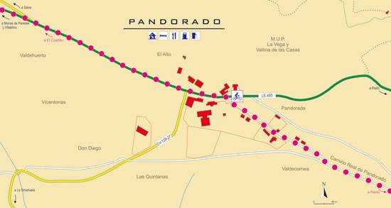
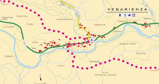
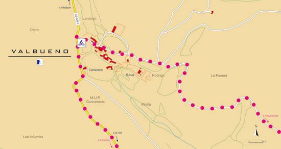
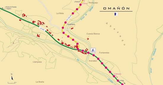
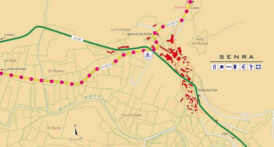
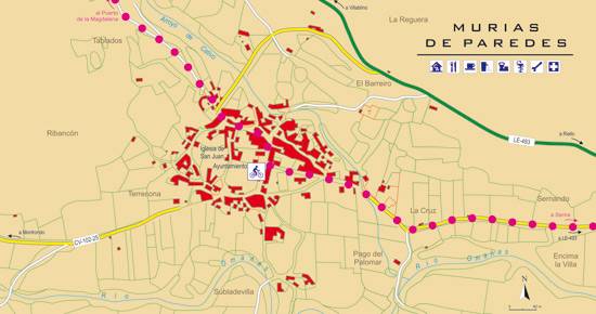
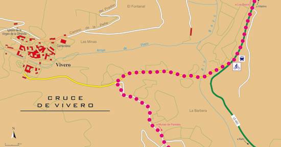
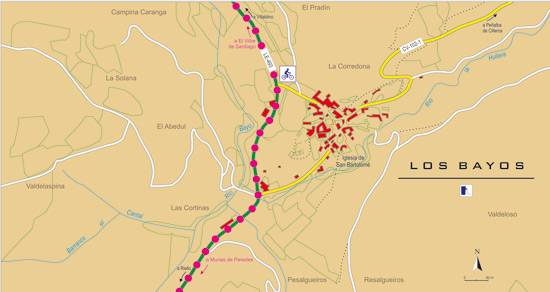
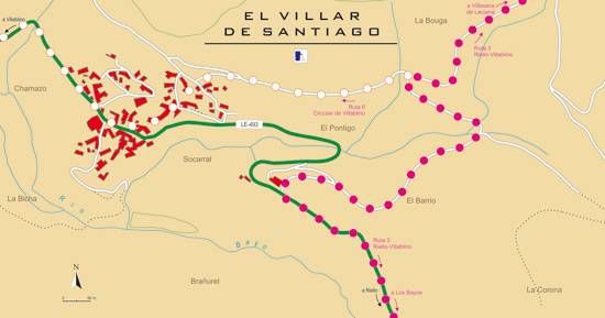
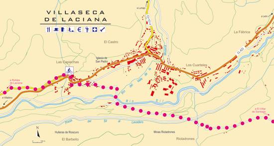
The route leaves from El Castillo to reach Vegarienza. Here you go back along a track that goes up to Valbueno, where the route returns to the asphalt to descend to Omañón and take the road that runs through Valle Chico. Afterwards, we leave for Senra from where we depart towards Murias. Once in Murias, the route continues until reaching El Villar de Santiago. From there, we descend towards Villaseca and in the final section, we go up to Robles de Laciana to descend to Rioscuro and finish in Villablino.

