Guadarrama Mountain Range National Park
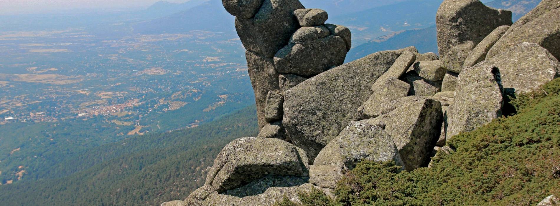
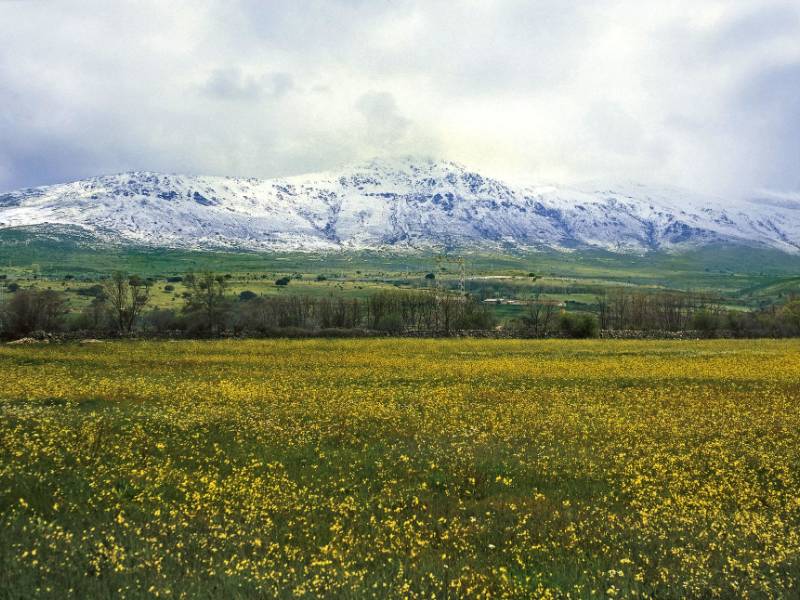
On the northern side of the mountain chain that connects the two Iberian plateaus, in the province of Segovia, there is a protected space of rich biodiversity and cultural heritage: the majestic Sierra de Guadarrama. Summits such as Peñalara and Siete Picos offer an impressive panorama, with glacial cirques and granite formations, enriching the fauna with species such as black vultures, imperial eagles, wolves and mountain goats, as well as the presence of otters in the rivers, along with important endemisms. of bats.
The Valsaín Mountains, sustainably managed since the 16th century, integrate nature and human activity, highlighting species such as holly, yew and juniper. More than eight hundred tree species, among which the wild pines stand out above all. Here is the National Center for Environmental Education (CENEAM), a reference center in education for sustainability that works to promote a change in the attitude of citizens in the face of the current socio-environmental crisis.
Enviromental Areas
- wildlife
- The presence of numerous species, such as the spanish imperial eagle, and diferent birds of prey. Mammals such as deer, boar, roe deer, fallow deer and foxes.
- Relief
- It occupies a large part of the Central Mountain range, large granitic massif that rises between the basins of the rivers Duero and Tajo.
- Vegetation
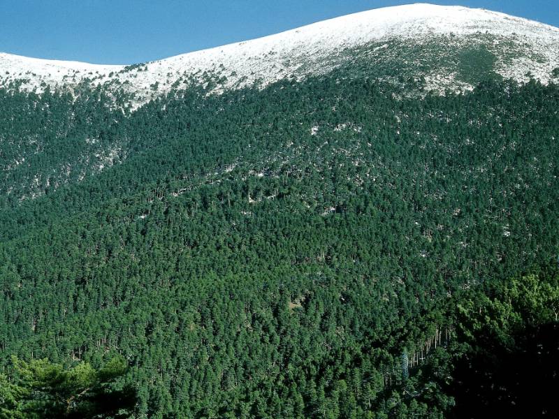
- Highlights of the forests of scots pine and oak forests, holm-oak wood and juniper.
Get to know this natural space
Interpretation Center Boca del Asno
Built on the site of a former forest shelter used by the wardens, the centre offers visitors an insight into the natural resources of the Valsaín hills (Guadarrama mountain range) and how they are managed. It also has an interesting audiovisual feature...
On map
Address
- Postal address Carretera CL- 601 kilómetro 14,3. Valsaín (San Ildefonso). NaN. Segovia
- Web
- Phones921 120 013
Enjoy this natural space
On foot and by bike
- Climb to the Dead Woman from RevengaTo know more
The route traverses a diffuse path between rocks and brooms, and leads us to Alto Paspan which represents the feet of Mujer Muerta....
- Journey
- Circular
- Way
- On foot
- Length
- 24.5 kms.
- Ascent slope
- 1,031 m.
- Difficulty of the route
- High
- Navafria Port - Pico de NeveroTo know more
Starting from Puerto de Navafría we head towards the viewpoint of Navalcollado, which offers a great panoramic view of the Pinar...
- Journey
- Circular
- Way
- On foot
- Length
- 9.5 kms.
- Ascent slope
- 550 m.
- Difficulty of the route
- Medium-High
- Peñalara PeakTo know more
There are several ways to reach the peak of Peñalara, the highest peak of Sierra de Guadarrama, this route is in addition, the simplest....
- Journey
- Linear
- Way
- On foot
- Length
- 15.3 kms.
- Ascent slope
- 1,212 m.
- Difficulty of the route
- High
- SE1 SE1 - Sierra Norte de Guadarrama Natural TrailTo know more
Located in the Sierra Norte de Guadarrama Natural Park. The Nature Trail runs mostly along the livestock route, covering the entire...
- Journey
- Linear
- Way
- On foot
- By bike
- Length
- 103 kms.
- Ascent slope
- 256 m.
- Difficulty of the route
- Low
- SE2 SE2 - Route of the Archpriest of HitaTo know more
Located in the Sierra Norte de Guadarrama Natural Park. It is a simple route that can be done with children in a charming environment...
- Journey
- Circular
- Way
- On foot
- Length
- 15.2 kms.
- Ascent slope
- 410 m.
- Difficulty of the route
- Medium
- SE4 SE4 - Royal Fisheries TrailTo know more
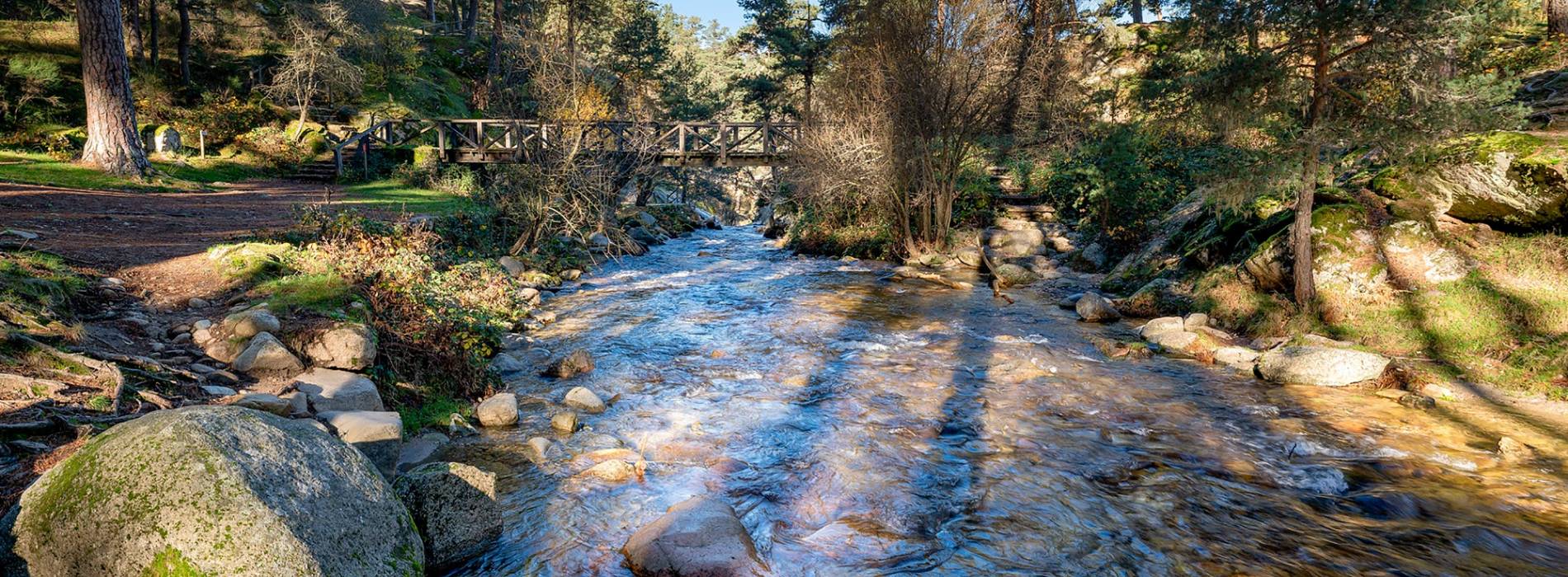
Located in the Sierra Norte de Guadarrama Natural Park. The fishing road runs along the left bank of the Valsaín River, ordered to...
- Journey
- Linear
- Way
- On foot
- Length
- 18 kms.
- Ascent slope
- 370 m.
- Difficulty of the route
- Low
- SE5 SE5 - Schmidt Road RouteTo know more
Located in the Sierra Norte de Guadarrama Natural Park. The Schmidt Trail is a mountain path that links the port of Navacerrada with...
- Journey
- Linear
- Way
- On foot
- Length
- 5.9 kms.
- Ascent slope
- 140 m.
- Difficulty of the route
- Medium
- Seven PeaksTo know more
The path begins in Puerto de Navacerrada towards the ski area of Escaparate and, taking a craggy road, we reach the seventh point,...
- Journey
- Circular
- Way
- On foot
- Length
- 13.2 kms.
- Ascent slope
- 892 m.
- Difficulty of the route
- Medium
- Valsain-Puerto de FuenfriaTo know more
The path begins in the town of Valsain and ascends to Cruz de la Gallega, to continue along the forest track of Pinar de la Acebeda....
- Journey
- Linear
- Way
- On foot
- Length
- 13.3 kms.
- Ascent slope
- 766 m.
- Difficulty of the route
- Medium
- Way of the Pesquerias RealesTo know more
The route, created by Carlos III to have an easy access to privileged areas of fishing, is simple and pleasant. Therefore, it is...
- Journey
- Linear
- Way
- On foot
- Length
- 12.1 kms.
- Ascent slope
- 234 m.
- Difficulty of the route
- Medium-Low

