Route 5 Center. Section 1
- Position
- Burgos province
- Spain province
- Valladolid province
- Type of route
- Several days
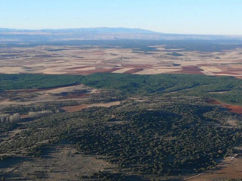
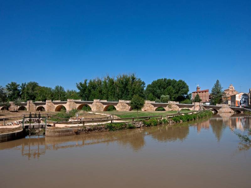
One of the backbones at a historical, cultural and economic level of the Community is the Duero River. Our river.
Data of interest
Around
In ancient times, the course of the Duero River served as a border in the Reconquista and later became a land of manors, monasteries and large agricultural areas.
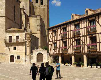
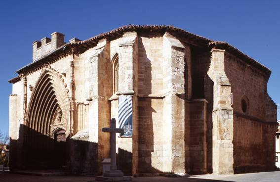
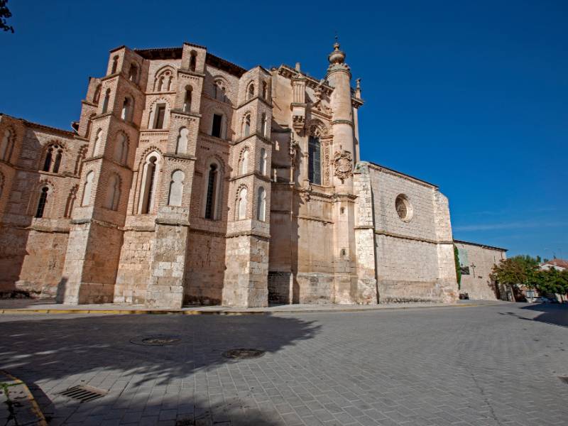
Currently, monuments, palaces and towns of ancient ancestry dot these lands, all of them embraced by large expanses of vineyards of various denominations of origin.
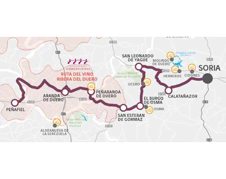
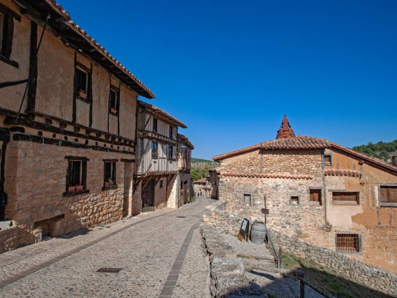
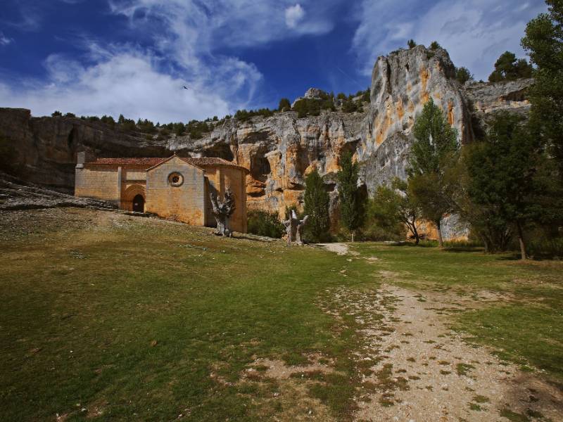
Leaving Soria we will arrive at Calatañazor, with the medieval atmosphere that exudes its layout and its traditional buildings. We momentarily leave the course of the Duero to reach the N-234, towards Burgos, and at the height of the Soria town of San Leonardo de Yagüe we descend towards the town of Ucero and the Cañon del Río Lobos. The roads are not excessively complicated and here stops and walks take precedence over the motorcycle.
Do not miss
- Calatañazor.
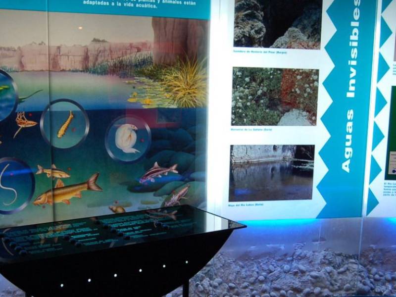
- La Fuentona de Muriel.
- The Magic Forest (San Leonardo de Yagüe).
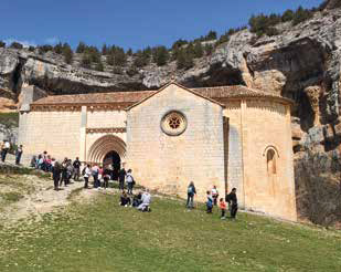
- Cañon del Río Lobos.
- Viewpoint of the "Galiana".
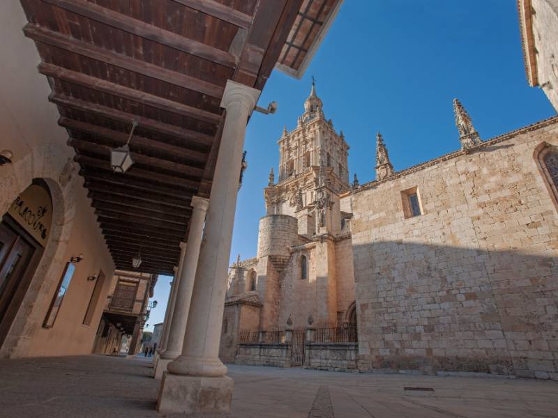
- Cathedral of El Burgo de Osma.
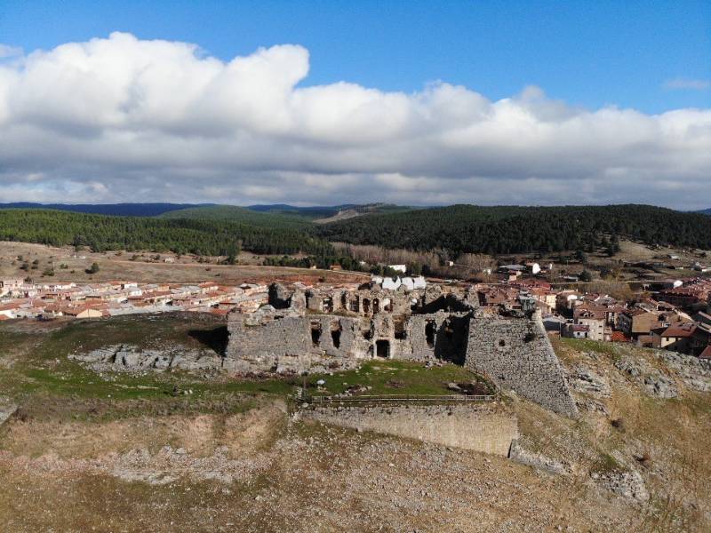
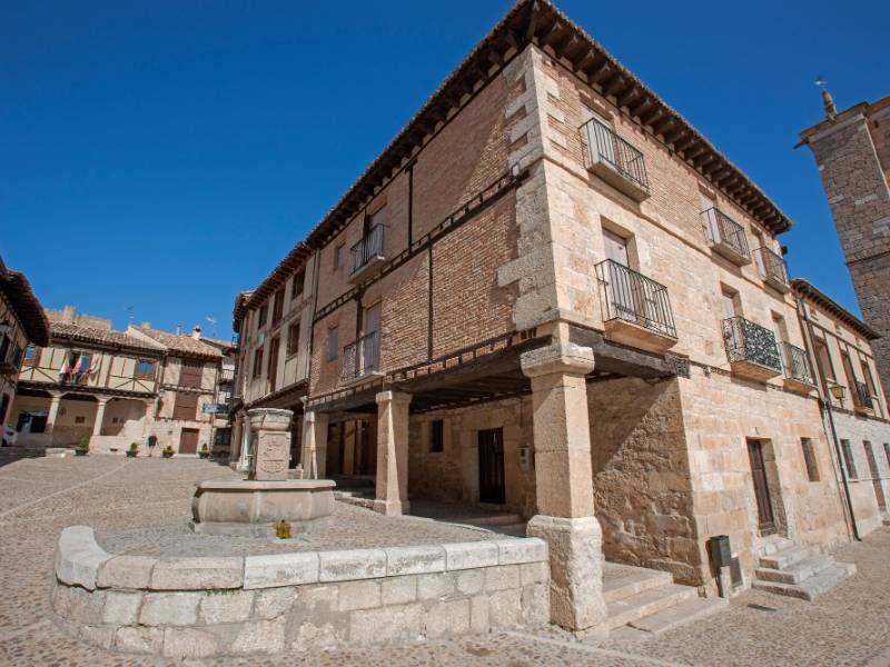
- Peñaranda de Duero (castle, historic center...)
- Curiel de Duero Wineries.
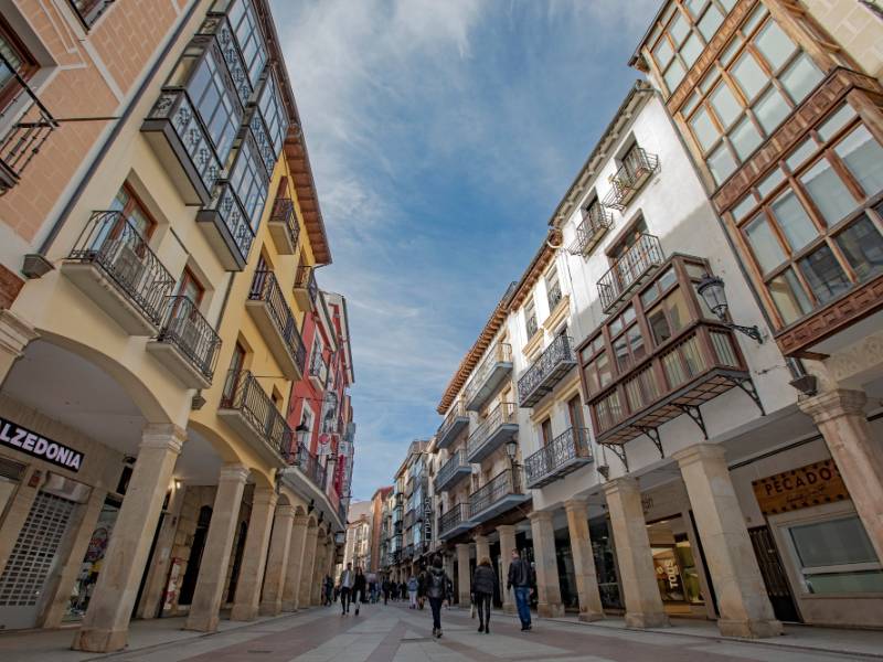
- Peñafiel (castle, historic center...)
To consider...
Avoid the N-122 as much as possible. There is a lot of traffic and the big trucks affect it a lot.
To get to the Hermitage of San Bartolomé you will have to walk there after a short walk. The arrival from the Ucero River bridge to the Cañon del Río Lobos parking lot is fine and the parking lot is usually monitored.

