Sierra Norte de Guadarrama Natural Park
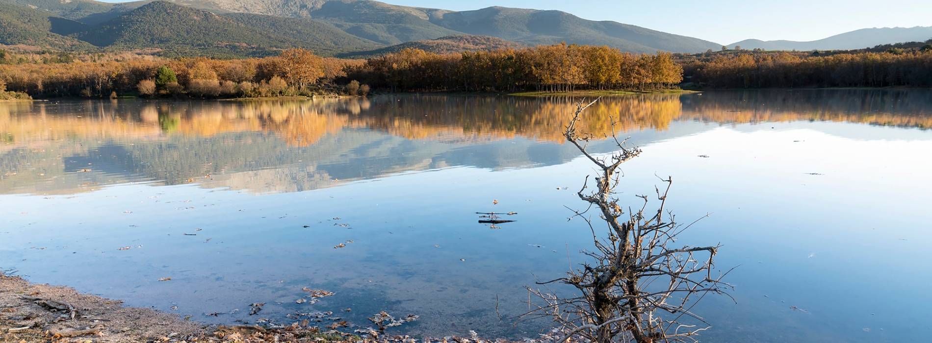
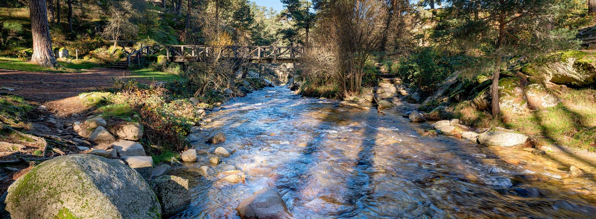
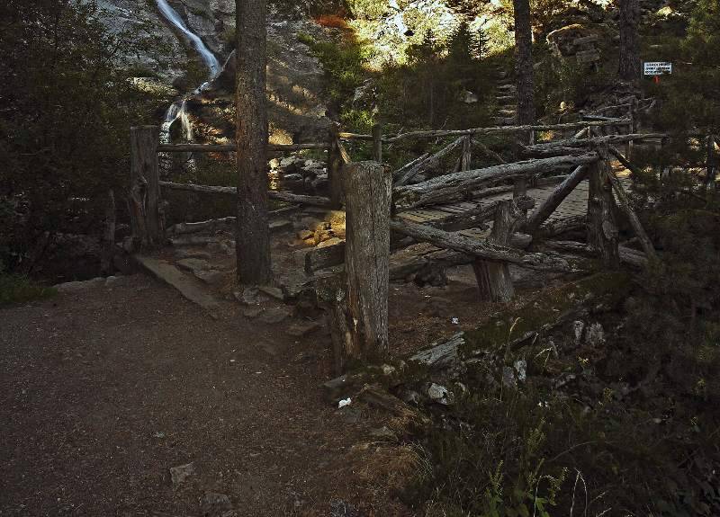
Visit the Sierra Norte de Guadarrama Natural Park, a mountain area with a great diversity of environments and species. It is part of the Central System, which separates the two subplateaus of the Iberian Peninsula. It has very interesting geology and geomorphology, with remains of ancient glaciers. With a unique diversity of environmental conditions, its mountainous relief and varied vegetation offer an exceptional habitat for outstanding fauna, including emblematic species such as the Iberian imperial eagle, the black vulture and the black stork.
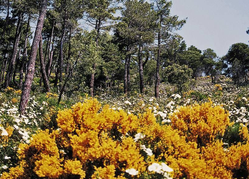
Explore the plant diversity, from mountain grasses and shrubs to large forests of Scots pine, birch, ash and yew. Discover the varied flora that changes with altitude and soil type.
Find unique fauna, see birds such as the imperial and royal eagle, vultures, eagle owls, black storks, as well as mammals such as the Iberian wolf, the wild cat and various species of mustelids.
Enviromental Areas
- wildlife
- The presence of numerous species, such as the spanish imperial eagle, and diferent birds of prey. Mammals such as deer, boar, roe deer, fallow deer and foxes.
- Relief
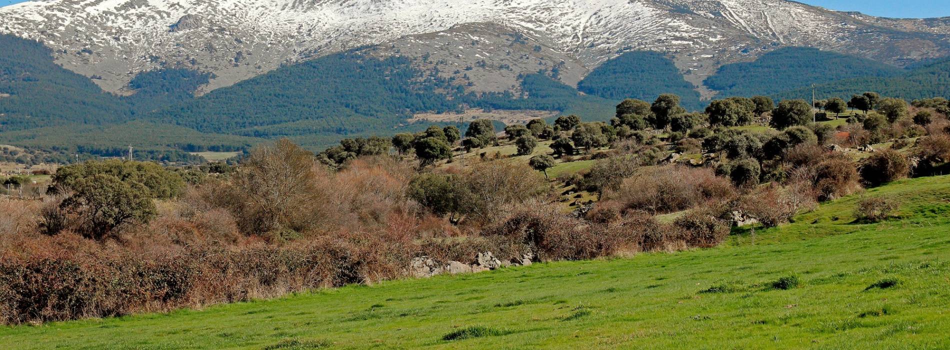
- It occupies a large part of the Central Mountain range, large granitic massif that rises between the basins of the rivers Duero and Tajo.
- Vegetation
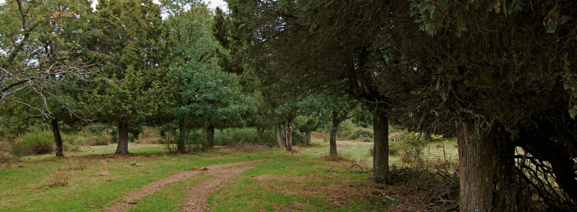
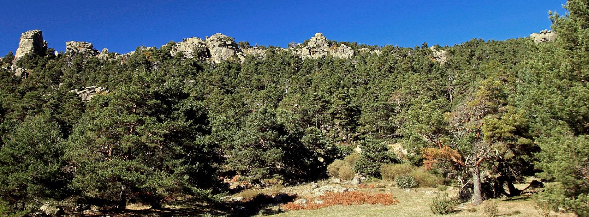
- Highlights of the forests of scots pine and oak forests, holm-oak wood and juniper.
Get to know this natural space
House of the Aguila Imperial
A themed centre built on the ruins of the ancient Church of San Miguel, and the Garden of San Miguel. It was designed to provide an additional infrastructure targeting a range of publics. Here visitors can obtain information about the golden Eagle and...
On map
Address
- Postal address Cañada Real de Orejana s/n. Pedraza. NaN. Segovia
- Web
- Phones921 508 778
Prepare your visit
Enjoy this natural space
On foot and by bike
- Climb to the Dead Woman from RevengaTo know more
The route traverses a diffuse path between rocks and brooms, and leads us to Alto Paspan which represents the feet of Mujer Muerta....
- Journey
- Circular
- Way
- On foot
- Length
- 24.5 kms.
- Ascent slope
- 1,031 m.
- Difficulty of the route
- High
- Little earTo know more
The route goes over an old livestock track between meadows, Spanish junipers and Holm oak trees. In the village we can see some traces...
- Journey
- Linear
- Way
- On foot (2 h.)
- By bike (2 h.)
- Length
- 2.6 kms.
- Recommended
- spring
- summer
- autumn
- winter
- Difficulty of the route
- Low
- Navafria Port - Pico de NeveroTo know more
Starting from Puerto de Navafría we head towards the viewpoint of Navalcollado, which offers a great panoramic view of the Pinar...
- Journey
- Circular
- Way
- On foot
- Length
- 9.5 kms.
- Ascent slope
- 550 m.
- Difficulty of the route
- Medium-High
- Pathway of the IngenieroTo know more
Around the Casa del Ingeniero and the forestry museum, we will walk through a well-preserved pine wood, settled by forest birds.
- Journey
- Circular
- Way
- On foot
- By bike
- Length
- 13 kms.
- Recommended
- spring
- summer
- autumn
- Difficulty of the route
- Medium
- Pathway of the Mirador de la VelillaTo know more
The route heads to the Mirador of la Velilla, where we will have fantastic views of La Velilla and the surrounding landscape.
- Journey
- Linear
- Way
- On foot (2 h.)
- By bike (2 h.)
- Length
- 2.8 kms.
- Recommended
- spring
- summer
- autumn
- winter
- Difficulty of the route
- Medium
- Pathway of the TonguerasTo know more
The path provides access to the viewpoint of Las Tongueras from where you can enjoy magnificent views of Pedraza.
- Journey
- Circular
- Way
- On foot (1 h.)
- Length
- 2.8 kms.
- Recommended
- spring
- summer
- autumn
- winter
- Difficulty of the route
- Medium
- Pathway of the river ViejoTo know more
On the granites and gneiss, grows a dense Holm oak forest which is interrupted in the valley by a mosaic of meadows, surrounded by...
- Journey
- Circular
- Way
- On foot
- By bike
- Length
- 13 kms.
- Recommended
- spring
- summer
- autumn
- winter
- Difficulty of the route
- Medium
- Peñalara PeakTo know more
There are several ways to reach the peak of Peñalara, the highest peak of Sierra de Guadarrama, this route is in addition, the simplest....
- Journey
- Linear
- Way
- On foot
- Length
- 15.3 kms.
- Ascent slope
- 1,212 m.
- Difficulty of the route
- High
- River Santa AguedaTo know more
Continuing up the medieval road, we reach a forest booth, a site that offers wonderful panoramic views of the valley, the ideal spot...
- Journey
- Linear
- Way
- On foot (2 h.)
- Length
- 8 kms.
- Recommended
- spring
- summer
- autumn
- winter
- Difficulty of the route
- Low
- SE1 SE1 - Sierra Norte de Guadarrama Natural TrailTo know more
Located in the Sierra Norte de Guadarrama Natural Park. The Nature Trail runs mostly along the livestock route, covering the entire...
- Journey
- Linear
- Way
- On foot
- By bike
- Length
- 103 kms.
- Ascent slope
- 256 m.
- Difficulty of the route
- Low
- SE2 SE2 - Route of the Archpriest of HitaTo know more
Located in the Sierra Norte de Guadarrama Natural Park. It is a simple route that can be done with children in a charming environment...
- Journey
- Circular
- Way
- On foot
- Length
- 15.2 kms.
- Ascent slope
- 410 m.
- Difficulty of the route
- Medium
- SE3 SE3 - La Acebeda de Prádena RouteTo know more
Located in the Sierra Norte de Guadarrama Natural Park. This route begins in the "El Bradal" recreational area that leads to the...
- Journey
- Circular
- Way
- On foot
- Length
- 7.1 kms.
- Ascent slope
- 259 m.
- Difficulty of the route
- Low
- SE4 SE4 - Royal Fisheries TrailTo know more
Located in the Sierra Norte de Guadarrama Natural Park. The fishing road runs along the left bank of the Valsaín River, ordered to...
- Journey
- Linear
- Way
- On foot
- Length
- 18 kms.
- Ascent slope
- 370 m.
- Difficulty of the route
- Low
- SE5 SE5 - Schmidt Road RouteTo know more
Located in the Sierra Norte de Guadarrama Natural Park. The Schmidt Trail is a mountain path that links the port of Navacerrada with...
- Journey
- Linear
- Way
- On foot
- Length
- 5.9 kms.
- Ascent slope
- 140 m.
- Difficulty of the route
- Medium
- Seven PeaksTo know more
The path begins in Puerto de Navacerrada towards the ski area of Escaparate and, taking a craggy road, we reach the seventh point,...
- Journey
- Circular
- Way
- On foot
- Length
- 13.2 kms.
- Ascent slope
- 892 m.
- Difficulty of the route
- Medium
- Streams of CaballarTo know more
Beginning in the Iglesia de Nuestra Señora de la Asunción, we take a path along the valley of La Nava stream amongst vegetable gardens...
- Journey
- Circular
- Way
- On foot (1.4 h.)
- Length
- 6.3 kms.
- Recommended
- spring
- summer
- autumn
- winter
- Difficulty of the route
- Low
- Valsain-Puerto de FuenfriaTo know more
The path begins in the town of Valsain and ascends to Cruz de la Gallega, to continue along the forest track of Pinar de la Acebeda....
- Journey
- Linear
- Way
- On foot
- Length
- 13.3 kms.
- Ascent slope
- 766 m.
- Difficulty of the route
- Medium
- Way of the Pesquerias RealesTo know more
The route, created by Carlos III to have an easy access to privileged areas of fishing, is simple and pleasant. Therefore, it is...
- Journey
- Linear
- Way
- On foot
- Length
- 12.1 kms.
- Ascent slope
- 234 m.
- Difficulty of the route
- Medium-Low

