The French Way of Saint James - Valverde de la Virgen
Province of Leon
- Route Data
- Ascent slope
- 887 m.
- Previous
- Following
This is a town-aligned along the national highway 120 and until 1911 was known as Valverde del Camino.
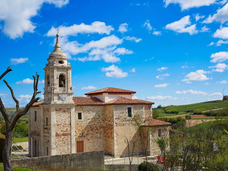
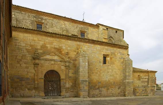
Moreover, in this village you can find the Parish Church of Santa Engracia.


